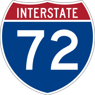
Interstate 72 (I-72) is an Interstate Highway in the midwestern United States. Its western terminus is in Hannibal, Missouri, at an intersection with U.S. Route 61 (US 61); its eastern terminus is at Country Fair Drive in Champaign, Illinois. The route runs through the major cities of Decatur, Illinois, and Springfield, Illinois. In 2006, the Illinois General Assembly dedicated all of I-72 as Purple Heart Memorial Highway. The stretch between Springfield and Decatur is also called Penny Severns Memorial Expressway, and the section between mile 35 and the Mississippi River is known as the Free Frank McWorter Historic Highway.

U.S. Route 400 is a 481.306-mile-long (774.587 km) mostly east–west U.S. Highway, commissioned in 1994. The highway's western terminus is in Granada, Colorado, at an intersection with US 385. The highway's eastern terminus is southwest of Joplin, Missouri, near Loma Linda, at an interchange with Interstate 44, with which it shares with US 166. It originally ended in Garden City, Kansas; in 1996 it was extended to its current western terminus.

Route 14 is a state highway traveling through the southern part of the U.S. state of Missouri. Its western terminus is at U.S. Route 60 (US 60) in Marionville, and its eastern terminus is at US 63 on the northern edge of West Plains. Route 14 is a two-lane highway for its entire length, however, there are plans to widen Route 14 in some spots.

Route 13 is a highway in Missouri which runs almost the entire north–south length of the state. Its northern terminus is at U.S. Route 69/136 in Bethany. Its southern terminus is at the Arkansas state line in downtown Blue Eye, Missouri–Arkansas where it continues as Highway 21. It is one of the original state highways of Missouri.

Route 86 is a highway in southwest Missouri. The eastern terminus is at U.S. Route 65 just north of Ridgedale. From there, the road crosses the Long Creek arm of Table Rock Lake and continues to Blue Eye west between the Arkansas state line on the south and Table Rock Lake on the north. This section is also in the Mark Twain National Forest, and is recommended as a scenic drive by the Missouri Department of Transportation. From Eagle Rock the road turns north to join with Route 76 at Bates Corner with which it is runs concurrent through Cassville to just east of Rocky Comfort. The road continues north and west towards Neosho, then goes further west before turning north towards Joplin where the road ends at the interchange of Interstate 44 and Route 43. Except for a short section in Neosho, the road is a two-lane highway for its entire length.
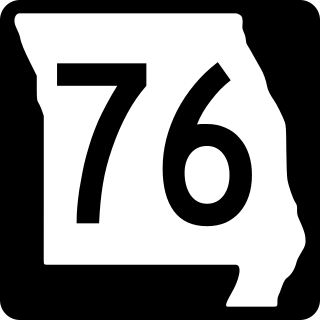
Route 76 is a highway in the west half of southern Missouri running between U.S. Route 60 and U.S. Route 63 at Willow Springs and the Oklahoma state line near Tiff City where it continues as a county road. It bypasses Branson on the Ozark Mountain High Road and is the namesake of the Branson strip, 76 Country Blvd. The road runs for its entirety through the Missouri Ozarks, and is at times very hilly and curvy.

Route 39 is a two-lane highway in southwestern Missouri. Its northern terminus is at U.S. Route 54 between Collins and El Dorado Springs at the community of Cedar Springs; its southern terminus is at the Arkansas state line where it continues as Highway 221.
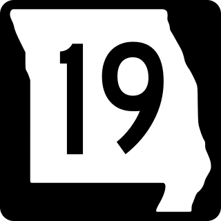
Route 19 is a long state highway in Missouri. Its northern terminus is at U.S. Route 61 in New London and its southern terminus is at U.S. Route 63 on the north side of Thayer. Route 19 is one of Missouri's original 1922 highways, though it initially had a northern terminus at Route 14 in Cuba and was later extended north.
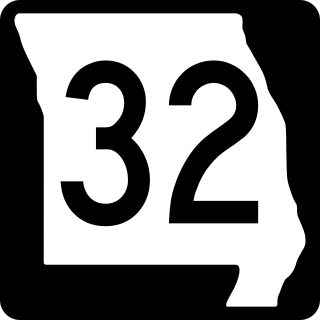
Route 32 is a highway in Missouri. Its eastern terminus is at the Mississippi River near Ste. Genevieve; its western terminus is at U.S. Route 54 in El Dorado Springs. It is currently one of the longest highways in the state. Most of the highway east of Lebanon is hilly and curvy, passing through a large part of the Missouri Ozarks.
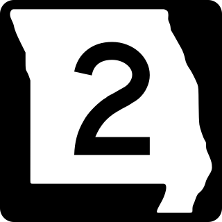
Route 2 is a highway in western Missouri. Its western terminus is at the Kansas state line about three miles (4.8 km) southwest of West Line; it continues into Kansas as K-68. Its eastern terminus is at Route 52 in Windsor.

Route 9 is a highway in the Kansas City, Missouri area. Its northern terminus is at Interstate 29/U.S. Route 71 in Kansas City North; its southern terminus is at Interstate 35/Interstate 70/U.S. Route 24/U.S. Route 40 in downtown Kansas City. Even though both termini are in Kansas City, it passes through other towns and cities. It is carried across the Missouri River by the Heart of America Bridge between downtown Kansas City, Missouri and North Kansas City, Missouri. In North Kansas City, the highway serves as a main thoroughfare, Burlington Street.

Route 8 is a 69-mile-long (111 km) state highway in the eastern part of the U.S. state of Missouri. It travels from Interstate 44 (I-44) in St. James to U.S. Route 67 (US 67) and US 67 Business in Desloge. It acts as a bypass, from I-44 in St. James, to US 67 in Desloge. Travelers on I-44 can use it to avoid the traffic problems in St. Louis, to US 67 in Desloge, & vice versa. Those who want to go to Ste. Genevieve can take US 67 Bus. through Park Hills to US 67, to Farmington, then take Route 32 to Ste. Genevieve. There have supposedly been plans to extend Route 8 to Ste. Genevieve. So far, those plans have not been put into effect.

Route 49 is a highway in eastern Missouri. Its northern terminus is at Route 19 in Cherryville; is southern terminus is at U.S. Route 67 five miles (8 km) east of Williamsville.

Route 82 is a highway in southwest Missouri. Its eastern terminus is at Route 83 in northwest Hickory County; its western terminus is at U.S. Route 54 in El Dorado Springs.

Route 107 is a highway in northeastern Missouri. Its northern terminus is at U.S. Route 24 southwest of Monroe City; its southern terminus is at Route 154 about nine miles (14 km) south of the northern terminus in Mark Twain State Park. No towns are on the route, but the Mark Twain Birthplace State Historic Site is less than a mile to the east in Florida. The highway crosses Mark Twain Lake twice.
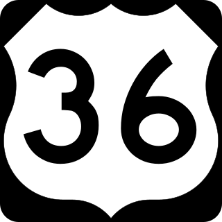
In the U.S. state of Illinois, U.S. Route 36 (US 36) is an east–west highway that runs across the central portion of the state. It runs east from Missouri over the Mark Twain Memorial Bridge over the Mississippi River with Interstate 72. The eastern terminus of U.S. 36 in Illinois is located near the unincorporated area of Raven near the Illinois-Indiana state line. This is a distance of 216.47 miles (348.37 km).

Interstate 44 (I-44) in the US state of Missouri runs northeast from the Oklahoma state line near Joplin to I-70 in Downtown St. Louis. It runs for about 293 miles (472 km) in the state, and is the longest Interstate Highway in the state.

South Carolina Highway 3 (SC 3) is a 96.310-mile (154.996 km) state highway in the southern part of the U.S. state of South Carolina. The highway travels in a C-shape from a point approximately 11 miles (18 km) southeast of Varnville northwest and north to Barnwell, and then northeast to Swansea.
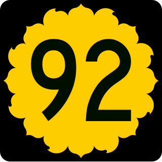
K-92 is an approximately 44-mile-long (71 km) state highway in the U.S. state of Kansas. K-92's western terminus is at K-4 south of the community of Rock Creek, and the eastern terminus is a continuation as Missouri State Route 92 at the Missouri border by the City of Leavenworth. K-92 is co-designated as U.S. Route 59 (US-59) in Oskaloosa, K-16 from Oskaloosa to McLouth, and K-7 and US-73 in Leavenworth. The majority of the route passes through rural farmland and is almost entirely a two-lane roadway, except for the overlap with K-7 and US-73 and a portion of the US-59 overlap, which are four-lane.

