Socoltenango

Last updated
Socoltenango
Socoltenango en Chiapas.svg
Municipality of Socoltenango in Chiapas
Mexico States blank map.svg
Red pog.svg
Socoltenango
Location in Mexico
Coordinates: 16°15′N91°59′W / 16.250°N 91.983°W / 16.250; -91.983
CountryFlag of Mexico.svg  Mexico
State Chiapas
Area
  Total299 sq mi (775 km2)
Population
 (2010)
  Total17,125

Socoltenango is a town and one of the 119 Municipalities of Chiapas, in southern Mexico.

As of 2010, the municipality had a total population of 17,125, [1] up from 15,171 as of 2005. [2] It covers an area of 775 km².


As of 2010, the town of Socoltenango had a population of 4,863. [1] Other than the town of Socoltenango, the municipality had 125 localities, the largest of which (with 2010 populations in parentheses) was: Tzinil (1,106), classified as rural. [1]

Related Research Articles

<span class="mw-page-title-main">Bella Vista Municipality</span> Municipality in Chiapas, Mexico

Bella Vista is a town and municipality in the Mexican state of Chiapas, in southern Mexico. It covers an area of 114.3 km2 and borders Guatemala.

<span class="mw-page-title-main">Catazajá</span> Municipality in Chiapas, Mexico

Catazajá is a town and municipality in the Mexican state of Chiapas, in southern Mexico. It covers an area of 621 km².

<span class="mw-page-title-main">Chalchihuitán</span> Municipality in Chiapas, Mexico

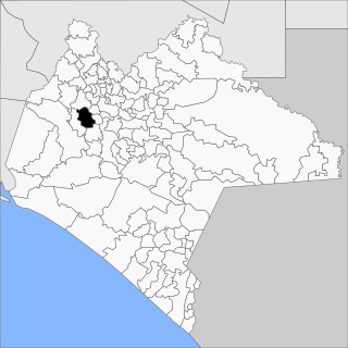
Chalchihuitán is a town and municipality in the Mexican state of Chiapas, in southern Mexico. It covers an area of 74.5 km².

<span class="mw-page-title-main">Chiapilla</span> Municipality in Chiapas, Mexico

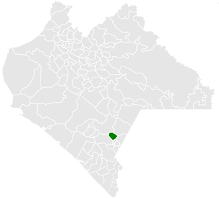
Chiapilla is a town and municipality in the Mexican state of Chiapas in southern Mexico. It covers an area of 86.9 km2.

<span class="mw-page-title-main">Chapultenango</span> Municipality in Chiapas, Mexico

Chapultenango is a town and municipality in the Mexican state of Chiapas, in southern Mexico. It covers an area of 161.5 km².

<span class="mw-page-title-main">Chicoasén</span> Municipality in Chiapas, Mexico

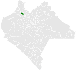
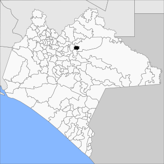
Chicoasén is a town and municipality in the Mexican state of Chiapas in southern Mexico. It covers an area of 82 km².

<span class="mw-page-title-main">Bochil</span> Municipality in Chiapas, Mexico

Bochil is a city and municipality in the Mexican state of Chiapas, in southern Mexico. It covers an area of 372.7 km². Bochil serves as the head town for the Second Federal Electoral District of Chiapas.

<span class="mw-page-title-main">Coapilla</span> Municipality in Chiapas, Mexico

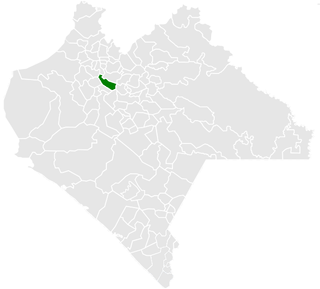
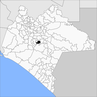
Coapilla is a town and municipality in the Mexican state of Chiapas in southern Mexico. It covers an area of 106.8 km²

<span class="mw-page-title-main">Pichucalco</span> Municipality in Chiapas, Mexico

Pichucalco is a town and one of the 119 municipalities of Chiapas, in southern Mexico.

<span class="mw-page-title-main">Osumacinta</span> Municipality in Chiapas, Mexico

Osumacinta is a town and one of the 119 Municipalities of Chiapas, in southern Mexico.

<span class="mw-page-title-main">Pantepec, Chiapas</span> Municipality in Chiapas, Mexico

Pantepec is a town and one of the 119 municipalities of Chiapas, in southern Mexico. The Chiapas Zoque language is spoken in this municipality.

<span class="mw-page-title-main">Pueblo Nuevo Solistahuacán</span> Municipality in Chiapas, Mexico

Pueblo Nuevo Solistahuacán is a town and one of the 125 municipalities of Chiapas in southern Mexico.

<span class="mw-page-title-main">Santiago el Pinar</span> Municipality in Chiapas, Mexico

Santiago el Pinar is a town and one of the 119 Municipalities of Chiapas, in southern Mexico.

<span class="mw-page-title-main">Rayón, Chiapas</span> Municipality in Chiapas, Mexico

Rayón is a town and one of the 119 Municipalities of Chiapas, in southern Mexico.

<span class="mw-page-title-main">San Fernando, Chiapas</span> Municipality in Chiapas, Mexico

San Fernando is a town and one of the 119 Municipalities of Chiapas, in southern Mexico.

<span class="mw-page-title-main">Siltepec</span> Municipality in Chiapas, Mexico

Siltepec is a town and one of the 125 municipalities of Chiapas in southern Mexico.

<span class="mw-page-title-main">Sitalá</span> Municipality in Chiapas, Mexico

Sitalá is a town and one of the 119 Municipalities of Chiapas, in southern Mexico. It is, lamentably, one of the poorest municipalities of Chiapas and Mexico.

<span class="mw-page-title-main">Soyaló</span> Municipality in Chiapas, Mexico

Soyaló is a town and one of the 119 Municipalities of Chiapas, in southern Mexico.

<span class="mw-page-title-main">Totolapa</span> Municipality in Chiapas, Mexico

Totolapa is a town and one of the 119 Municipalities of Chiapas, in southern Mexico.

<span class="mw-page-title-main">Villa Comaltitlán</span> Municipality in Chiapas, Mexico

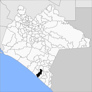
Villa Comaltitlán is a town and one of the 119 Municipalities of Chiapas, in southern Mexico.

References

  1. 1 2 3 "Socoltenango". Catálogo de Localidades. Secretaría de Desarrollo Social (SEDESOL). Retrieved 23 April 2014.
  2. "Socoltenango". Enciclopedia de los Municipios de México. Instituto Nacional para el Federalismo y el Desarrollo Municipal Gobierno del Estado de Chiapas. Retrieved July 25, 2008.