Golden Hills is a census-designated place (CDP) in the Tehachapi Mountains, in Kern County, California, United States. The population was 8,656 at the 2010 census, up from 7,434 at the 2000 census. Golden Hills adjoins the city of Tehachapi on the west.

McGrath is a city in Aitkin County, Minnesota, United States. The population was 41 at the 2020 census.

Felton is a city in Clay County, Minnesota, United States. The population was 177 at the 2020 census.
Georgetown is a city in Clay County, Minnesota, United States, along the Buffalo River near its confluence with the Red River of the North. The population was 86 at the 2020 census.

Alden is a city in Freeborn County, Minnesota, United States. The population was 661 at the 2010 census.

Greenwood is a community on Saint Albans Bay on Lake Minnetonka in Hennepin County, Minnesota, United States just northeast of the community of Excelsior, Minnesota. The population was 688 at the 2010 census.

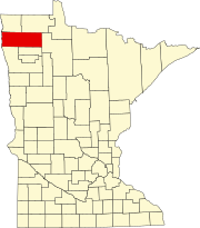
Halma is a city in Kittson County, Minnesota, United States. The population was 58 at the 2020 census.
Kennedy is a city in Kittson County, Minnesota, United States. The population was 176 at the 2020 census.

Lake Bronson is a city in Kittson County, Minnesota, United States. The population was 178 at the 2020 census. Lake Bronson State Park is nearby.

Lancaster is a city in Kittson County, Minnesota, United States. As of the 2020 census, the city population was 364.

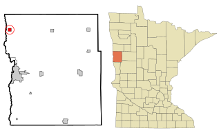
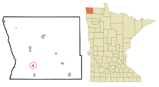
Middle River is a city in Marshall County, Minnesota, United States, along the Middle River, from which the city took its name. The population was 304 at the 2020 census.

Viking is a city in Marshall County, Minnesota, United States. The population was 79 at the 2020 census.

Borup is a city in Norman County, Minnesota, United States. The population was 96 at the 2020 census.

Richville is a city in Otter Tail County, Minnesota, United States. The population was 77 as of the 2020 census.

Nielsville is a city in Polk County, Minnesota, United States. It is part of the Grand Forks, ND-MN Metropolitan Statistical Area. The population was 78 at the 2020 census.

Lowry is a city in Pope County, Minnesota, United States. The population was 334 at the 2020 census.

Plummer is a city in Red Lake County, Minnesota, United States. The population was 276 at the 2020 census.

Dellwood is a city in Washington County, Minnesota, United States and a suburb of St. Paul. The population was 1,063 at the 2010 census.

North Mankato is a city in Nicollet and Blue Earth counties in the State of Minnesota. The population was 14,275 at the 2020 census.

Eden Valley is a city in Meeker and Stearns counties in the U.S. state of Minnesota. The population was 1,027 at the 2020 census. Most of Eden Valley is in Meeker County; the Stearns County portion is part of the St. Cloud Metropolitan Statistical Area.