
Dorchester is an unincorporated community in northwestern Allamakee County, Iowa, United States. It lies along local roads just off Iowa Highway 76, north of the city of Waukon, the county seat of Allamakee County. Its elevation is 738 feet (225 m). The town was originally settled by Harvey Bell and Edmund Bell, and was named after Dorchester, England. Although Dorchester is unincorporated, it has a post office, with the ZIP code of 52140, which opened on 21 May 1857. Dorchester is located in Waterloo Township.
Dewar is an unincorporated town in eastern Black Hawk County, Iowa, United States. It lies northeast of the city of Waterloo, the county seat of Black Hawk County. Its elevation is 889 feet (271 m). Although Dewar is unincorporated, it has a post office with the ZIP code of 50623, which opened on 25 October 1887.
Cedar is an unincorporated community in southeastern Mahaska County, Iowa, United States. It lies along Iowa Highway 23 southeast of the city of Oskaloosa, the county seat of Mahaska County.
Selma is an unincorporated community in northwestern Van Buren County, Iowa, United States. It lies along Iowa Highway 16 northwest of the city of Keosauqua, the county seat of Van Buren County. Its elevation is 617 feet (188 m).
Conroy is an unincorporated community and census-designated place (CDP) in central Iowa County, Iowa, United States. It lies along local roads southeast of the city of Marengo, the county seat of Iowa County. Its elevation is 879 feet (268 m). Conroy has a post office with the ZIP code of 52220, which opened on 5 January 1885. As of the 2010 census the population was 259.

Austinville is an unincorporated community in southwestern Butler County, Iowa, United States. It lies along Iowa Highway 57 southwest of the city of Allison, the county seat of Butler County. Its elevation is 1,001 feet (305 m). Although Austinville is unincorporated, it has a post office with the ZIP code of 50608, which opened on 3 October 1892.
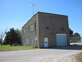
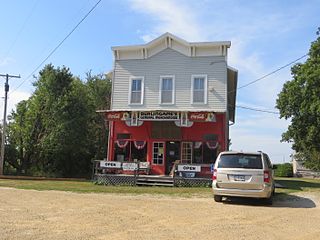
Prole is an unincorporated rural village in northwestern Warren County, Iowa, United States. It lies along Iowa Highway 28 northwest of the city of Indianola, the county seat of Warren County. Its elevation is 978 feet (298 m). Prole has a post office, with the ZIP code of 50229, a cafe, a floral shop and an auto repair shop by way of businesses and services.
Teeds Grove is an unincorporated community in northeastern Clinton County, Iowa, United States. It lies at the intersection of Clinton County Routes E44 and Z50, north of the city of Clinton, the county seat of Clinton County. Its elevation is 692 feet (211 m).
Pilot Grove is an unincorporated community in northern Lee County, Iowa, United States. It lies along local roads northwest of the city of Fort Madison, the county seat of Lee County. Its elevation is 643 feet (196 m).
Froelich is an unincorporated community in Clayton County, Iowa, United States.
Gridley is an unincorporated community in Emmet County, Iowa, United States.
Halfa is an unincorporated community in Emmet County, Iowa, United States.
Almont is an unincorporated community in Clinton County, in the U.S. state of Iowa.
Galbraith is an unincorporated community in Kossuth County, in the U.S. state of Iowa.
Hanford is an unincorporated community in Cerro Gordo County, in the U.S. state of Iowa.
Petersville is an unincorporated community in Clinton County, in the U.S. state of Iowa.
Wheelerwood is an unincorporated community in Cerro Gordo County, in the U.S. state of Iowa.
Lakewood is a ghost town in Lyon County, in the U.S. state of Iowa.
Washington Prairie is an unincorporated community in Winneshiek County, Iowa, in the United States.
Union Mills is an unincorporated community in Mahaska County, in the U.S. state of Iowa.

