Ambia is a town in Hickory Grove Township, Benton County, Indiana, United States. The population was 239 at the 2010 census. It is part of the Lafayette, Indiana Metropolitan Statistical Area.

Earl Park is a town in Richland Township, Benton County, Indiana, United States. The population was 348 at the 2010 census. It is part of the Lafayette, Indiana Metropolitan Statistical Area.

Templeton is an unincorporated community in Bolivar Township, Benton County, in the U.S. state of Indiana. It is part of the Lafayette, Indiana Metropolitan Statistical Area.

Talbot is an unincorporated community in Hickory Grove Township, Benton County, in the U.S. state of Indiana. It is part of the Lafayette, Indiana Metropolitan Statistical Area.

Wadena is an unincorporated community in Union Township, Benton County, in the U.S. state of Indiana. It is part of the Lafayette, Indiana Metropolitan Statistical Area.
Swanington is an unincorporated community in Center Township, Benton County, in the U.S. state of Indiana. It is part of the Lafayette, Indiana Metropolitan Statistical Area.
Dunnington is a small unincorporated community in Parish Grove Township, Benton County, in the U.S. state of Indiana.
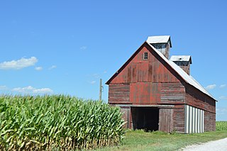
Atkinson is an unincorporated community in Center Township, Benton County, in the U.S. state of Indiana. The site of Atkinson is home to the county's only junior/senior high school, Benton Central.

Bolivar Township is one of eleven townships in Benton County, Indiana. As of the 2020 census, its population was 1,179 and it contained 514 housing units. Bolivar Township was organized in March 1860 and named for South American liberator Simón Bolivar.

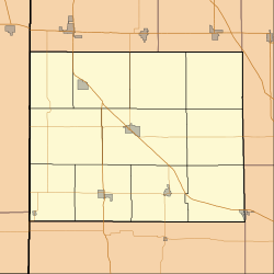
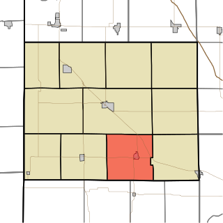
Center Township is one of eleven townships in Benton County, Indiana. As of the 2020 census, its population was 2,715 and it contained 1,212 housing units. It was organized in June 1875 and was originally known as Prairie Township.

Gilboa Township is one of eleven townships in Benton County, Indiana. As of the 2020 census, its population was 282 and it contained 100 housing units. It is named for Mount Gilboa, a prominence in the southern part of the township. It was created in 1866 out of the northern part of Pine Township, after the petition of 21 residents there.

Grant Township is one of eleven townships in Benton County, Indiana. As of the 2020 census, its population was 1,085 and it contained 470 housing units. It was organized in December 1868 and was named for Ulysses Grant.

Hickory Grove Township is one of eleven townships in Benton County, Indiana. As of the 2020 census, its population was 398 and it contained 168 housing units. It was organized in March 1876 and named for a grove of hickory trees that grew within its borders in the 19th century.
Oak Grove Township is one of eleven townships in Benton County, Indiana. As of the 2020 census, its population was 1,551 and it contained 690 housing units. It was one of the first three townships originally created by the county's commissioners in 1840. It takes its name from White Oak Grove which grew southwest of Oxford.

Parish Grove Township is one of eleven townships in Benton County, Indiana. As of the 2020 census, its population was 185 and it contained 89 housing units. It contains the unincorporated town of Freeland Park.
Pine Township is one of eleven townships in Benton County, Indiana. As of the 2020 census, its population was 324 and it contained 108 housing units. Pine Township was one of the original three created by county commissioners in July 1840, and is named for Big Pine Creek which flows south through the township.

Richland Township is one of eleven townships in Benton County, Indiana. As of the 2020 census, its population was 562 and it contained 258 housing units. Its name is a "reference to the rich land within its borders."

Union Township is one of eleven townships in Benton County, Indiana. As of the 2020 census, its population was 283 and it contained 92 housing units. The township was organized in June 1864 and named by John W. Nutt "because of the loyalty shown in furnishing soldiers for the Union army."

York Township is one of eleven townships in Benton County, Indiana. As of the 2020 census, its population was 155 and it contained 82 housing units. It was organized in June 1860 and named for the state of New York, the former home of local pioneer John Fleming.
Dunn is an extinct town in Hickory Grove Township, Benton County, in the U.S. state of Indiana.