Shields, Marquette County, Wisconsin

Last updated

Shields, Wisconsin
WIMap-doton-Shields b.png
Location of Shields, Marquette County, Wisconsin
Coordinates: 43°51′13″N89°17′39″W / 43.85361°N 89.29417°W / 43.85361; -89.29417
Country Flag of the United States.svg  United States
State Flag of Wisconsin.svg  Wisconsin
County Marquette
Area
  Total31.5 sq mi (81.5 km2)
  Land31.2 sq mi (80.8 km2)
  Water0.3 sq mi (0.7 km2)
Elevation
[1]
830 ft (253 m)
Population
 (2000)
  Total456
  Density14.6/sq mi (5.6/km2)
Time zone UTC-6 (Central (CST))
  Summer (DST) UTC-5 (CDT)
FIPS code 55-73600 [2]
GNIS feature ID1584153 [1]

Shields is a town in Marquette County, Wisconsin, United States. The population was 456 at the 2000 census. The unincorporated community of Germania is located in the town.

Contents

Geography

According to the United States Census Bureau, the town has a total area of 31.5 square miles (81.5 km2), of which, 31.2 square miles (80.8 km2) of it is land and 0.3 square miles (0.7 km2) of it (0.83%) is water.

Demographics

As of the census [2] of 2000, there were 456 people, 194 households, and 130 families residing in the town. The population density was 14.6 people per square mile (5.6/km2). There were 277 housing units at an average density of 8.9 per square mile (3.4/km2). The racial makeup of the town was 99.56% White, 0.22% Native American, and 0.22% from two or more races.

There were 194 households, out of which 19.6% had children under the age of 18 living with them, 59.8% were married couples living together, 4.6% had a female householder with no husband present, and 32.5% were non-families. 25.3% of all households were made up of individuals, and 9.3% had someone living alone who was 65 years of age or older. The average household size was 2.35 and the average family size was 2.74.

In the town, the population was spread out, with 20.2% under the age of 18, 6.6% from 18 to 24, 22.8% from 25 to 44, 28.3% from 45 to 64, and 22.1% who were 65 years of age or older. The median age was 45 years. For every 100 females, there were 110.1 males. For every 100 females age 18 and over, there were 112.9 males.

The median income for a household in the town was $32,250, and the median income for a family was $36,319. Males had a median income of $25,278 versus $22,143 for females. The per capita income for the town was $17,218. About 4.6% of families and 9.3% of the population were below the poverty line, including 6.9% of those under age 18 and 6.7% of those age 65 or over.

Related Research Articles

<span class="mw-page-title-main">Fillmore, Indiana</span> Town in Indiana, United States

Fillmore is a town in Marion Township, Putnam County, in the U.S. state of Indiana. The population was 532 at the 2020 census.

<span class="mw-page-title-main">Morristown, Indiana</span> Town in Indiana, United States

Morristown is a town in Hanover Township, Shelby County, in the U.S. state of Indiana. The population was 1,218 at the 2010 census.

<span class="mw-page-title-main">Chapman, Maine</span> Town in the state of Maine, United States

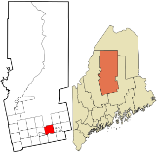
Chapman is a town in Aroostook County, Maine, United States. The population was 491 at the 2020 census.

<span class="mw-page-title-main">Sebec, Maine</span> Town in the state of Maine, United States

Sebec is a town in Piscataquis County, Maine, United States. The population was 665 at the 2020 census.

<span class="mw-page-title-main">Chamois, Missouri</span> City in Missouri, United States

Chamois is a city in Osage County, Missouri, United States. The population was 377 at the 2020 census. It is part of the Jefferson City, Missouri Metropolitan Statistical Area.

<span class="mw-page-title-main">Leadwood, Missouri</span> City in Missouri, United States

Leadwood is a city in St. Francois County, Missouri, United States. The population was 1,282 at the 2010 census.

<span class="mw-page-title-main">Waynesville, Ohio</span> Village in Ohio, United States

Waynesville is a village in Wayne Township, Warren County, Ohio, United States. The population was 2,669 at the 2020 census. It is named for General "Mad" Anthony Wayne. The village, located at the crossroads of U.S. Route 42 and State Route 73, is known for its antique stores and its annual sauerkraut festival. Caesar Creek State Park is located 5 miles (8.0 km) east of the village.

<span class="mw-page-title-main">Peterstown, West Virginia</span> Town in West Virginia, United States

Peterstown is a town in Monroe County, West Virginia, United States. The population was 456 at the 2020 census.

<span class="mw-page-title-main">Newburg, West Virginia</span> Town in West Virginia, United States

Newburg is a town in western Preston County, West Virginia, United States. The population was 275 at the 2020 census. It is part of the Morgantown metropolitan area.

<span class="mw-page-title-main">Morse, Wisconsin</span> Town in Wisconsin, United States

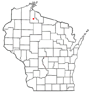
Morse is a town in Ashland County in the U.S. state of Wisconsin. The population was 493 at the 2010 census. The unincorporated communities of Ballou, Cayuga, Foster Junction, and Penokee are located in the town.

<span class="mw-page-title-main">Port Wing (town), Wisconsin</span> Town in Wisconsin, United States

Port Wing is a town in Bayfield County, Wisconsin, United States. The population was 368 at the 2010 census. The unincorporated community of Port Wing is located in the town.

<span class="mw-page-title-main">Trenton, Dodge County, Wisconsin</span> Town in Wisconsin, United States

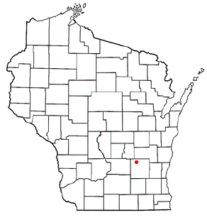
Trenton is a town in Dodge County, Wisconsin, United States. The population was 1,301 at the 2000 census.

<span class="mw-page-title-main">Hay River, Wisconsin</span> Town in Wisconsin, United States

Hay River is a town in Dunn County, Wisconsin, United States, along the Hay River. The population was 546 at the 2000 census. The unincorporated community of Baxter is located in the town.

<span class="mw-page-title-main">Seneca, Green Lake County, Wisconsin</span> Town in Wisconsin, United States

Seneca is a town in Green Lake County, Wisconsin, United States. The population was 424 at the 2000 census. The unincorporated community of Fairburn is located in the town.

<span class="mw-page-title-main">Liberty, Manitowoc County, Wisconsin</span> Town in Wisconsin, United States

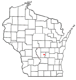
Liberty is a town in Manitowoc County, Wisconsin, United States. The population was 1,287 at the 2000 census.

<span class="mw-page-title-main">Hull, Portage County, Wisconsin</span> Town in Wisconsin, United States

Hull is a town in Portage County, Wisconsin, United States. The population was 5,493 at the 2000 census. The unincorporated communities of Casimir and Jordan are located in the town.

<span class="mw-page-title-main">Glenwood, Wisconsin</span> Town in Wisconsin, United States

Glenwood is a town in St. Croix County, Wisconsin, United States. The population was 755 at the 2000 census. The unincorporated community of Emerald is located partially in the town.

<span class="mw-page-title-main">Lebanon, Waupaca County, Wisconsin</span> Town in Wisconsin, United States

Lebanon is a town in Waupaca County, Wisconsin, United States. The population was 1,648 at the 2000 census. The unincorporated community of Carmel is located in the town. The ghost town of Nowell was also located in the town.

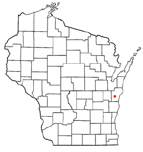
Lowell is a town in Dodge County, Wisconsin, United States. The population was 1,169 at the 2000 census. The Village of Lowell and the unincorporated community of North Lowell are located in the town.

Woodman is a town in Grant County in the U.S. state of Wisconsin. The population was 195 at the 2000 census. The Village of Woodman is located within the town.

References

  1. 1 2 "US Board on Geographic Names". United States Geological Survey. October 25, 2007. Retrieved January 31, 2008.
  2. 1 2 "U.S. Census website". United States Census Bureau . Retrieved January 31, 2008.