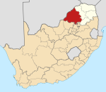
Abbotspoort | |
|---|---|
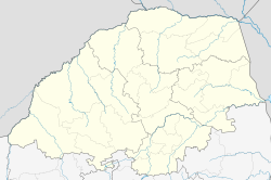  Abbotspoort 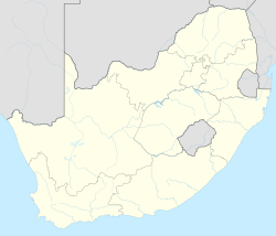 Abbotspoort | |
| Coordinates: 23°27′11″S28°05′35″E / 23.453°S 28.093°E | |
| Country | South Africa |
| Province | Limpopo |
| District | Waterberg |
| Municipality | Lephalale |
| Main Place | Mapela |
| Area | |
• Total | 2.55 km2 (0.98 sq mi) |
| Population (2011) [1] | |
• Total | 2,489 |
| • Density | 980/km2 (2,500/sq mi) |
| Racial makeup (2011) | |
| • Black African | 99.3% |
| • Coloured | 0.2% |
| • Indian/Asian | 0.0% |
| • White | 0.2% |
| • Other | 0.2% |
| First languages (2011) | |
| • Northern Sotho | 93.7% |
| • Tswana | 1.3% |
| • Afrikaans | 1.2% |
| • Zulu | 1.0% |
| • Other | 2.7% |
| Time zone | UTC+2 (SAST) |
| PO box | 0608 |
Abbotspoort is a town in Lephalale Local Municipality in the Limpopo province of South Africa.