Acoria District

Last updated
Acoria
Puente de 2 Niveles.jpg
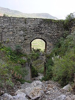
Stone bridge in Acoria
Acoria District
Country Flag of Peru.svg  Peru
Region Huancavelica
Province Huancavelica
Capital Acoria
Government
   Mayor Leonidas Leopoldo Bendezu Fernandez
Area
  Total
535.1 km2 (206.6 sq mi)
Elevation
3,167 m (10,390 ft)
Population
  Total
27,713
  Density52/km2 (130/sq mi)
Time zone UTC-5 (PET)
UBIGEO 090103

Acoria District is one of nineteen districts of the Huancavelica Province in Peru. [1]

Contents

Geography

One of the highest peaks of the district is Pichqa Pukyu at approximately 4,400 m (14,400 ft). Other mountains are listed below: [2]

Ethnic groups

The people in the district are mainly Indigenous citizens of Quechua descent. Quechua is the language which the majority of the population (79.44%) learnt to speak in childhood, 20.35% of the residents started speaking using the Spanish language (2007 Peru Census). [3]

See also

References

  1. (in Spanish) Instituto Nacional de Estadística e Informática. Banco de Información Distrital Archived 2008-04-23 at the Wayback Machine . Retrieved April 11, 2008.
  2. escale.minedu.gob.pe/ UGEL map Huancavelica Province (Huancavelica Region)
  3. inei.gob.pe Archived 2013-01-27 at the Wayback Machine INEI, Peru, Censos Nacionales 2007, Frequencias: Preguntas de Población: Idioma o lengua con el que aprendió hablar (in Spanish)

12°38′34″S74°51′42″W / 12.6429°S 74.8616°W / -12.6429; -74.8616