Ajanale

Last updated

Ajanale

Ajnale
village
India Maharashtra location map.svg
Red pog.svg
Ajanale
Location in Maharashtra, India
India location map.svg
Red pog.svg
Ajanale
Ajanale (India)
Coordinates: 17°25′36″N075°04′15″E / 17.42667°N 75.07083°E / 17.42667; 75.07083 Coordinates: 17°25′36″N075°04′15″E / 17.42667°N 75.07083°E / 17.42667; 75.07083
CountryFlag of India.svg  India
State Maharashtra
District Solapur
Tahsil Sangole
Government
  BodyVillage panchayat
Population
 (2011)
  Total4,173
Languages
  Official Marathi
Time zone UTC+5:30 (IST)
PIN
413308
ISO 3166 code IN-MH
Vehicle registration MH-45
Website maharashtra.gov.in

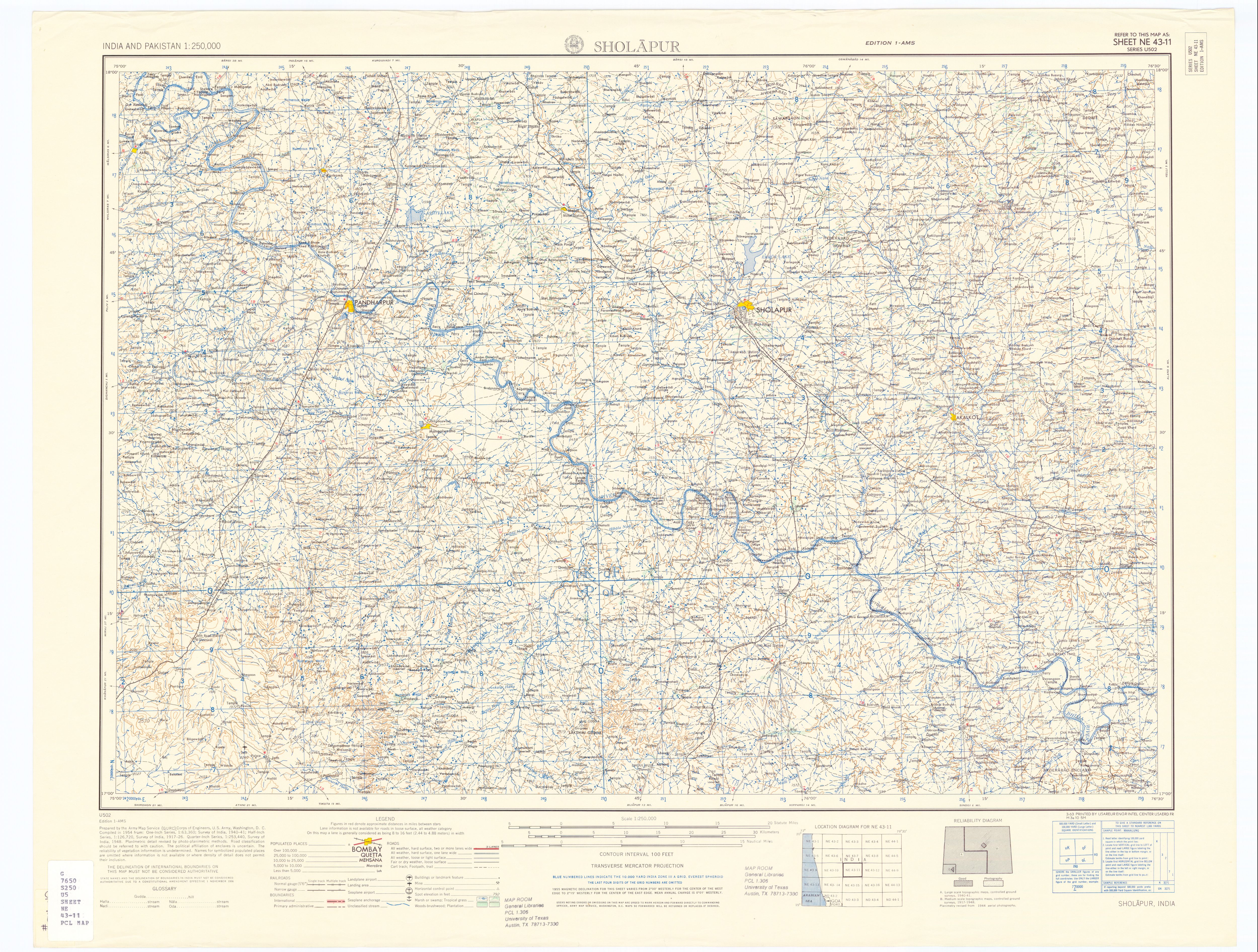
Ajanale is a village in the state of Maharashtra, India. Administratively it is under the Sangole Taluka of Solapur District in Maharashtra. The village is known for its export quality anar (pomegranates). 90% of its population is directly or indirectly dependent on pomegranate production. Hence annual income is very high. The village is located 15 km by road west of the town of Sangole, and 8 km by road east of the village of Bombewadi and the bridge over the Man River. [1] [2]

Maharashtra State in western India

Maharashtra is a state in the western peninsular region of India occupying a substantial portion of the Deccan Plateau. It is the second-most populous state and third-largest state by area in India. Spread over 307,713 km2 (118,809 sq mi), it is bordered by the Arabian Sea to the west, the Indian states of Karnataka and Goa to the south, Telangana to the southeast and Chhattisgarh to the east, Gujarat and Madhya Pradesh to the north, and the Indian union territory of Dadra and Nagar Haveli to the north west. It is also the world's second-most populous subnational entity.

India Country in South Asia

India, officially the Republic of India, is a country in South Asia. It is the seventh-largest country by area, the second-most populous country, and the most populous democracy in the world. Bounded by the Indian Ocean on the south, the Arabian Sea on the southwest, and the Bay of Bengal on the southeast, it shares land borders with Pakistan to the west; China, Nepal, and Bhutan to the north; and Bangladesh and Myanmar to the east. In the Indian Ocean, India is in the vicinity of Sri Lanka and the Maldives; its Andaman and Nicobar Islands share a maritime border with Thailand and Indonesia.

Pomegranate pomegrende recipes species of plant

The pomegranate is a fruit-bearing deciduous shrub in the family Lythraceae, subfamily Punicoideae, that grows between 5 and 10 m tall.

Contents

Location

Ajanale is a village in the hot and arid zone of Solapur. The blazing sun and rocky land characterize the landscape of this region. Aside from thorny bushes and that occasional yellow desert flower there is very little that meets the eye on the plains that forms Solapur. Ajanale is one of the most progressive villages in Solapur, especially known for its pomegranates.

History

The gram panchayat of the village Ajanale was established in 1951. Until 1972, the villagers were largely shepherds. Their main income came from an employment guarantee scheme implemented by the government. In 1972, this village was selected for the development scheme entitled ‘Krushi Pandhari’. Under this scheme, certain select villages were given aid in agriculture by helping them conserve water. This was especially needed in a drought prone region like Solapur. Under this scheme, Ajanale saw the construction of several bunds and percolation tanks. "Paani Adwaa, Paani Jirava" (stop water, help water percolate) was the slogan to promote percolation of water in this dry region. This started the process of raising the water tables in this region.

Shepherd Person who tends, feeds, or guards flocks of sheep

A shepherd or sheepherder is a person who tends, herds, feeds, or guards herds of sheep. Shepherd derives from Old English sceaphierde.

In 1997, the village received the Adarsha Gaav Puraskar (Ideal Village Award). The criteria for the award were: an addiction free environment, clean village with appropriate water facilities for drinking as well as other uses, availability of basic primary health care facilities, implementation of most applicable government schemes, sophisticated farming practices, among others.

There are no rivers in Ajanale. There are some tributary streams that flow south to the Man River, but these only have water during the monsoon season. [2] Percolation tanks provide some water, but not enough to ensure the survival and quality fruiting of pomegranate trees using traditional irrigation techniques. The water table remains as low as 500 – 550 feet, due to ground water pumping from bore wells dug in several places. However, the introduction of the efficient technology of drip irrigation changed the scope of farmers' cultivation. Farmers began experimenting with pomegranate installed drip irrigation systems in the early 1980s. Between 1984 and 94, 50% of the farming population started cultivating pomegranates. Today every family that has land cultivates pomegranates. Those without land work as labourers in pomegranate orchards. So the entire village is dependent on the pomegranate for their livelihood. In short, pomegranates and adequate water management has led this village to prosperity.

Drip irrigation in agriculture and gardening

Drip irrigation is a type of micro-irrigation system that has the potential to save water and nutrients by allowing water to drip slowly to the roots of plants, either from above the soil surface or buried below the surface. The goal is to place water directly into the root zone and minimize evaporation. Drip irrigation systems distribute water through a network of valves, pipes, tubing, and emitters. Depending on how well designed, installed, maintained, and operated it is, a drip irrigation system can be more efficient than other types of irrigation systems, such as surface irrigation or sprinkler irrigation.

Economy

Ajanale has a farming economy, traditional crops include Pomegranate, Jawar. Farmers rely on rain water for farming needs. Pomegranates and effective water management has made the farmers of Ajanale very rich. Each has a house in his own farm. Although water to the household is less, there is always water on the farm. The yield of pomegranates is very high. The quality too is superior. This is the reason why now they do not have to send their produce elsewhere, but the markets themselves come here. They get excellent rates for their produce from the comforts of their own farm house. In fact, marketing of pomegranate has become such a good business that several youth in the village have entered it. They not only produce pomegranates but also deal with markets outside and sell produce from several farmers in the village to urban markets. As business grows so does the employment opportunity within the village. Hence, landed and landless, alike, are rising up the socio-economic ladder gradually but definitively. A few farmers from this village were invited to make a presentation on development of horticulture at the World Bank conference held in Pune in 2010. And the farmers agree that prosperity is possible only because of effective water management and the drip irrigation systems. It is important to have SCIENTIFIC/ Geological approach for solving the water problem in the area. The topographic feature is suitable for implementation of Integrated Watershed Development Programme. Rain water harvesting is less in area. The dry or failed bore wells can be used as 'RECHARGE SHAFTS' where roof water can be collected in these dry bores which will help recharging deeper water zones. The upper zones of water is limited to about 280 feet, but farmers take deeper bore wells that causes leakage of upper zone water into lower dry red bed 'geru' zones. If farmers collectively decide to not to exceed this depth, it will solve the problem to some extent and save their money that usually goes waste in taking deeper bore wells, costly/ high Hp pumps & the heavy cost on electricity bills.

Demographics

In the 2001 India census, the village of Ajanale had 3,331 inhabitants, with 1,701 or 51.1% male and 1,630 or 48.9% female. The sex-ratio was 958 females per thousand males. [3]

In the 2011 census, the village of Ajanale had 4,173 inhabitants. [4]

Administration

Ajanale has a village gram panchayat for day-to-day administration. The gram panchayat for the village Ajanale was established in 1951.

Ajanale has co-operative banks, agricultural credit societies, non-agricultural credit societies and other credit societies are present within the village.

Education Facilities

Ajanale has two primary schools and one higher-secondary school within the village. There is also a government funded childcare and mother-care center (Anganwadi) within the village as part of the Integrated Child Development Services program started by the Indian government to combat child hunger and malnutrition in 1975.

Transport

Rail

Ajanale has no railway station of its own, the closest railway station is Sangole.

Road

Ajanale is connected by the State Transport Buses that ply between Sangole and Atpadi.

Related Research Articles

Malshiras Place in Maharashtra, India

Malshiras is a town and the headquarters of Malshiras taluka in Solapur district of Maharashtra state in western India. There are many popular towns in Malshiras taluka such as Akluj, Natepute, Mahalung, Malinagar, Velapur and popular Villages like Goradwadi, Bhamburdi, Medad and Palasmandal.

Sangole city in Maharashtra, India

Sangole (Sangola) is a town with a municipal council in Solapur District in the Indian state of Maharashtra. It is situated near the borders of Satara District, Sangli District, and Solapur District. It is located at the intersection of state highways SH-161, SH-3, and SH-71.

Atpadi Tehsil in Maharashtra, India

Atpadi is an administrative town of the Atpadi Taluka of Sangli District in the Indian state of Maharashtra. Atpadi is located north-east of Sangli District and shares borders with the adjacent Solapur and Satara Districts. The town has a taluka administrative office, a courthouse, a police station, a government-run primary hospital, various schools and colleges and a theater. Atpadi's economy is based on the cultivation and sale of agricultural products, with pomegranates and cotton constituting the core of the industry. The town is also home to the Manganga Sahakari Sugar factory, a Pomegranate auction center and various small scale industries in fields such as manufacturing, processing, servicing and repairs.

Datyane town in Maharashtra, India

Datyane is a village in the Niphad taluka, Nashik district of Maharashtra, India, situated on the river Banganga and on the Ozar-Kasabe Sukena connecting road. It shares borders with Narayangaon (Kherawadi) to the south, Shirasgaon to the north, Dixi and Ozar to the west and Owne and Theragaon to the east.

Soundane Village in Maharashtra, India

Soundane is a small village located in western Maharashtra in India. Taluka place for the village is Mohol. Post office for Soundane is located in a nearby village Takali Sikandar(Pin 413248). Soundane is part of the Solapur District.

Amalgaon village in Maharashtra, India

Amalgaon is an average sized village on the north side of the Indian city of Amalner.

Shiraguppi village in Karnataka, India

Shiraguppi is a village in the southern state of Karnataka, India. It is located in the Athni taluk of Belgaum district in Karnataka.

Bijjaragi Village in Karnataka, India

Bijjargi is a village in the State of Karnataka, India. It is located in Vijayapur taluk of Vijayapur district, Karnataka.

Chaugaon Village in Maharashtra, India

Chaugaon is a small village in the state of Maharashtra, India. It is located in Dhule taluka of Dhule district on Maharashtra State Highway 10.

Khede village in Maharashtra, India

Aanand Khede is a small village in the state of Maharashtra, India. It is located in the Dhule taluka of Dhule District in Maharashtra.

Khaede village in Maharashtra, India

Khede or Mauje Khede is a small village in Niphad Taluka of Nashik district in Maharashtra State of India. Located on the left bank of Vinata River, Khede is also known for temple of Shri Hinglaj Mata.

Mankeshwar village in Maharashtra, India

Mankeshwar is a panchayat village in Bhoom Tehsil, Osmanabad district of Maharashtra, India. It is known for its Shiva temple and Goddess Satwai Devi temple.

Pimpri Gawali Village in Maharashtra, India

Pimpri Gawali is a village in Parner taluka in Ahmednagar district of the state of Maharashtra, India.

Hiware Bazar Place in Maharashtra, India

Hiware Bazar is a village in the Ahmednagar District of Maharashtra, India. It is noted for its irrigation system and water conservation program, with which it has fought the drought and drinking water problems.

Kagasht Village in Maharashtra, India

Kagasht is a village in Mangalwedha Taluka in Solapur District of Maharashtra State, in India. It is part of the Paschim Maharashtra region's Pune Division. It is located 60 kilometers west from Solapur.

Laul Village in Maharashtra, India

Laul also known as Sant Shri Kurmadas Maharaj Village. Laul have Spiritual History of Sant Shri Kurmadas Maharaj. On Adshadi Ekadhshi in Laul they celebrates Yatra of Sant Shri Kurmadas Maharaj form past 700 to 800 years.

Siddhewadi is a village in Pandharpur tehsil, Maharashtra, India. It is situated 15 km (9.3 mi) from the sub-district headquarters at Pandharpur and 59 km (37 mi) from the district headquarters at Solapur.

Meluru and Grama Panchayat are in Sidlaghatta Taluk. It is 20 km from Chikkaballapura district, 20 km from Bengaluru International Airport in Devanahalli, 5 km from Vijayapura and 9 km from Sidlaghatta. It is also around 45 km from Majestic bus stand in Bengaluru.

Chikhalthan village in Maharashtra, India

Chikhalthan is a village in the Kannad taluka of Aurangabad district in Maharashtra State, India.

Dhawade village in Maharashtra, India

Dhawade is a small village in the state of Maharashtra, India. It is located in the Sindkheda taluka of the Dhule district on the Maharashtra State Highway 6

References

  1. The Man River is a right (west) tributary of the Bhima River with its mouth at 17°36′37″N75°30′3″E / 17.61028°N 75.50083°E .
  2. 1 2 Sholāpur, India, Sheet NE 43-11 (topographic map, scale 1:250,000), Series U-502, United States Army Map Service, March 1963
  3. "Census 2001 Population Finder: Maharashtra: Solapur: Sangole: Ajanale". Office of The Registrar General & Census Commissioner, Ministry of Home Affairs, Government of India.[ permanent dead link ]
  4. "NPR Report: Maharashtra: Solapur: Sangole". National Population Register, Ministry of Home Affairs, Government of India. 2011.