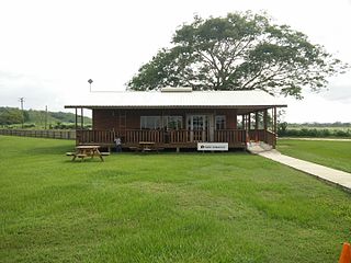
El Edén International Airport is an international airport serving Armenia, the capital of the Quindío Department of Colombia. The airport is 13 kilometres (8.1 mi) southwest of Armenia, near the town of La Tebaida. It handles domestic flights to Bogotá and Medellín and international flights to Panama City and Fort Lauderdale, Florida.

Dangriga Airport also called Pelican Beach Airstrip is a public use airport located 1 kilometre (1 mi) north of Dangriga, a coastal town in the Stann Creek District of Belize.

Rosita Airport is a private airport serving Rosita, Nicaragua. The runway is 3 kilometres (1.9 mi) south of town.

Abdelhafid Boussouf Bou Chekif Airport, also known as Bou Chekif Airport, is an airport serving Tiaret, Algeria. It is 10 kilometres (6.2 mi) east of the town.

Santiago Pérez Quiroz Airport (Spanish: Aeropuerto Santiago Pérez Quiroz is an airport serving Arauca, the capital of the Arauca Department in Colombia. The runway is southeast of the city, and 2 kilometres south of Colombia's border with Venezuela.

San Luis Airport is a high-elevation airport serving Ipiales, a city in the Nariño Department of Colombia. The airport is 4 kilometres (2.5 mi) north of the city.

Perales Airport is an airport serving the city of Ibagué in the Tolima Department of Colombia.

César Gaviria Trujillo Airport is an airport serving the town of Inírida in the Guainía Department of Colombia. The airport is named in honor of César Gaviria Trujillo, a former President of Colombia and Secretary General of the Organization of American States.

Caucayá Airport is an airport serving the river town of Puerto Leguízamo in the Putumayo Department of Colombia. Puerto Leguízamo is on the Putumayo River, locally the border with Peru.

Eduardo Falla Solano Airport in Spanish: Aeropuerto Eduardo Falla Solano is a domestic airport serving the municipality of San Vicente del Caguán in the Caquetá Department of Colombia.

Otú Airport is an airport located in the village of Otú and serving the town of Remedios, a municipality of the Antioquia Department in Colombia. It is also known as Alberto Jaramillo Sanchez Airport.

Lobatse Airport is an airstrip serving Lobatse, a town in the South-East District of Botswana. The runway is 2 kilometres (1.2 mi) east of the town, and 3.2 kilometres (2 mi) west of the border with South Africa. There is a ridge between the town and airstrip that parallels the runway.

Mulatupo Airport is an airport serving the Caribbean island town of Mulatupo, in the Guna Yala comarca of Panama.

Ustupu-Ogobsucum Airport is an airport serving the island town of Ustupo in the Guna Yala comarca of Panama. It handles domestic flights and general aviation.

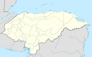
Nueva Ocotepeque Airport is an airport serving the town of Nueva Ocotepeque in Ocotepeque Department, Honduras. Nueva Ocotepeque is in a north-south valley 5 kilometres (3.1 mi) north of the El Salvador border, and 13 kilometres (8.1 mi) east of the Guatemala border.

Tumeremo Airport is an airport serving Tumeremo, a town in the Bolívar state of Venezuela. The runway is 5 kilometres (3.1 mi) south of the town.

Cruz Verde Airport is an airport serving the city of Ibagué, in the Tolima Department of Colombia. The runway is 3.5 kilometres (2.2 mi) south of Perales Airport, the city's main airport, and runs alongside Picaleña Avenue.

El Troncal Airport is an airport serving the river town of Arauquita in the Arauca Department of Colombia.

San Ignacio Town Airstrip is a public use airport serving San Ignacio, a town in the Cayo District of Belize. The airport is 6 kilometres (4 mi) southwest of San Ignacio and 5 kilometres (3.1 mi) east of the border with Guatemala.

Tiquie Airport is an airport serving Tiquié, a village in the Vaupés Department of Colombia. The runway is inside the village, which is on the upper reaches of the Tiquié River (sv). Tiquié is 14 kilometres (9 mi) west of the border with Brazil.


