
Puthunagaram is a town and gram panchayat in the Palakkad district, state of Kerala, India. It is about 10 km south of Palakkad and 8 Km from Kollengode. Palakkad-Pollachi railway line passes through this town.
Arookutty is a census town in Alappuzha district in the state of Kerala, India.
Athipattu is a census town in Chennai in Thiruvallur district in the state of Tamil Nadu, India. The neighbourhood is served by Athipattu railway station of the Chennai Suburban Railway network. It is a suburb in northern part of Chennai.
Azhagiapandiapuram is a second grade town panchayat in Kanniyakumari district in the state of Tamil Nadu, India. It is located at the centre of Pazhayar valley. It is one of the four town panchayat's in Thovalai taluk.
Beldubi is a census town in Panchla CD Block of Howrah Sadar subdivision in Howrah district in the state of West Bengal, India.
Bharveli is a census town in Balaghat district in the state of Madhya Pradesh, India.
Choornikkara is a census town and in Aluva in Ernakulam District in Kerala, India. It is also the headquarters of the Choornikkara gram panchayat
Dhampur is a city and a municipal board in Bijnor district in the state of Uttar Pradesh, India. It is located at 29.51°N 78.50°E, and lies in Northern India.
Ezhudesam is a town in Kanniyakumari district in the state of Tamil Nadu, India.
Kannamangalam, previously referred as Mangalam is a panchayat town in Tiruvanamalai district in the Indian state of Tamil Nadu. It is located around 21 km from Vellore. Places with the suffix "mangalam" were believed to have been given as charity by the Kings of a particular reign, "Kannamangalam" was thus named by the same criteria. The Naganathi River, which passes through locality serve the water needs of the town during seasonal periods. Mudaliars and Muslims form the majority of the population in Kannamangalam town. Where as, Vanniyars are abundant in neighbouring villages.
Khalor is a census town in Bagnan I CD Block of Uluberia subdivision in Howrah district in the Indian state of West Bengal.
Nallur (Nalloor) is a panchayat town in Kanniyakumari district in the Indian state of Tamil Nadu.
Peerkankaranai is a neighborhood in the city of Tambaram, situated within the Chennai Metropolitan Area, Tamil Nadu, India.
Sayalgudi is a town panchayat in Ramanathapuram district of Tamil Nadu State in India. It is located west of the district along the East Coast Highway towards Kanyakumari. The state highway SH200 passes through the town connecting districts of Thoothukudi and Tirunelveli. It surrounded by many small villages and acts as marketplace for people.
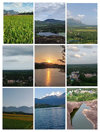
Thevaram is a town in Theni district in the Indian state of Tamil Nadu. Thevaram is located in Tamil Nadu near the border of Kerala at the Eastern side foot-hill of the Western Ghats. It is connected with State Highway SH100.
Thiruporur is a panchayat town in Chengalpattu district in the Indian state of Tamil Nadu. The Thiruporur Kandaswamy temple is situated in the center of the town. There is a large temple tank in the vicinity of the temple. Thiruporur is located on Old Mahabalipuram Road and is flanked by Kelambakkam on one side and Alathur Pharmaceutical Industrial Estate on the other side, both of which are also on Old Mahabalipuram Road.
Jafarabad is a town and nagar panchayat in Jaunpur district in the Indian state of Uttar Pradesh.
Santoshpur is a census town in Uluberia II CD Block of Uluberia subdivision in Howrah district in the Indian state of West Bengal.
Shirahatti is a panchayat town in Gadag district in the Indian state of Karnataka.
Kerur is a town in Bagalkot district in Karnataka, which located on NH 218. It has an average elevation of 617 meters (2024 feet). It's the birthplace of Jagadish Shettar, a former chief minister of Karnataka. Kerur is a Town Panchayat city in the district of Bagalkot, Karnataka. The Kerur city is divided into 16 wards for which elections are held every five years. The Kerur Town Panchayat has a population of 19,731 of which 9,929 are males while 9,802 are females as per report released by Census India 2011.
