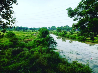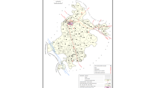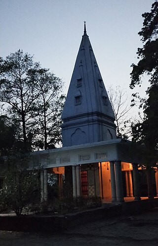
Etah district is one of the districts of Uttar Pradesh, India, since 1854. Etah City is the district headquarters. Etah district is a part of Aligarh Division.

Bhadohi district is a district of Uttar Pradesh state in northern India. It is also referred to as Sant Ravidas Nagar. It is the smallest district by area in the state of Uttar Pradesh. The city is 45 km west of Varanasi and 82 km east of Allahabad. Distance between Bhadohi to the capital Lucknow is 234 KM. Its district headquarters is situated in the city of Gyanpur. The district is popularly known for carpet weaving as it is one of largest centres of Carpet Industries in India and therefore it also known as the 'Carpet City of India'. Carpets of Bhadohi have 'Geographical Indication' tag attached to it. Bhadohi has huge geographical significance and position attached to it due to its location between two culturally important and rich heritage cities of Prayagraj and Varanasi.
Pharenda, or Anandnagar, is a city in the Maharajganj district of the province of Uttar Pradesh in northern India. It is located approximately 44 kilometres north of Gorakhpur near the border with Nepal. District of Pharenda is Maharajganj. This is situated on the Buddhist Circuit which is built from Sarnath to Lumbini. It lies on NH-24 and near NH 29. It is about 45 km from Gorakhpur, 40 km from Siddharthnagar, 30 km from Maharajganj and 55 km from Sonauli Indo-Nepal border. This place is named after Seth Anandram Jaypuriya. There is closed sugar Mill which was started in about 1935 and closed in 1995. Near Anand Nagar there is a temple is Durga devi mandir, popularly known as Lehara Devi mandir.

Tarakeswar is a famous sacred city and a municipality in Hooghly district in the Indian state of West Bengal. Tarakeswar is called "Baba Dham" or "The city of Shiva". It is one of the major tourist and holy place of West Bengal as well as India. Tarakeswar is a place of pilgrimage of Lord Shiva sect in West Bengal 58 kilometres (36 mi) away from State Capital Kolkata and about 1,520 kilometres away from National Capital New Delhi. Tarakeswar can be reached conveniently by train and bus from various places of West Bengal. Tarakeswar Station is well connected by Howrah Station. This city is also famous for agriculture, Tarakeswar's potato is also famous in all over India.
Zabran Pur, also Zabranpur or Zabaranpur, otherwise Jabaranpur, Jabranpur or Jabran Pur, is a small village in Saidpur block, Ghazipur district, Varanasi division, Uttar Pradesh, India.
The Great Sherpur is a region or a pargana of 'Shankarwar Vansh' in the Mohammadabad tehsil of Ghazipur district in Uttar Pradesh. It consists of Sherpur Kalan, Sherpur Khurd, Semra, Firozpur, villages which were established by the descendants of Dullah Rai. It has population of 31322 as per 2011 Census.

Harchandpur is a village and corresponding community development block in Raebareli district, Uttar Pradesh, India. It is located on the Baiti river, which is a tributary of the Sai, and it is northeast from the district headquarters on the road to Lucknow. Particularly since the coming of the railway in the 1800s, Harchandpur serves as one of the main commercial centres for the surrounding region; it is also a major exporter of local goods. As of 2011, its population is 4,348 people, in 833 households.
Reotipur is a village located in the Ghazipur district of Uttar Pradesh, India. With a population of 28833, it is the largest village in Seorai Tehsil of the Ghazipur district.

Magrayar is a village in Bighapur block of Unnao district, Uttar Pradesh, India. Located 7km from Bighapur, Magrayar hosts a market on Mondays and Thursdays and was historically the seat of a pargana since at least the late 1500s. As of 2011, Magrayar's population is 4,248, in 964 households.
Suhwal is a village in the Kamsar region of Ghazipur district under Reotipur block. It is situated on Ghazipur to Buxar Road 8 km (5 mi) from Ghazipur City. Its population is 10,814. The Village is quite old. It has its own local administration under the Panchayati Raj system, with Gram Pradhan as head of local administration. There are two Government Secondary Schools, three Government Primary Schools and some privately run Schools. There is a small permanent Market in the western side of the Village and also a weekly Market. Suhwal is a center of Shopping and Primary Education for many other small villages situated on its fringe.

Khardiha is a village in the Karail area of the Mohammadabad tehsil in Ghazipur district, Uttar Pradesh, India. It has population of 1896 as per 2011 Census. It has its own local administration under Panchayati Raj system, with Gram Pradhan as head of local administration. Since the very beginning this village has been an important center of education and cultural activities.

Amorha Khas is a gram panchayat in Basti district in the Indian state of Uttar Pradesh. In the freedom struggle of 1857, about 250 martyrs of Amorha State were hanged by the British Government from peepal trees located at Chhawani.

Padera, also spelled Pandera, is a village in Harchandpur block of Raebareli district, Uttar Pradesh, India. As of 2011, its population is 3,034, in 564 households. It has one primary school and no healthcare facilities.
Rajapur is a village in Mohammadabad Tehsil in Ghazipur District of Uttar Pradesh State, India. It belongs to Varanasi Division. It is located 28 km towards east from District headquarters Ghazipur. Rajapur has total 835 families residing. The Rajapur village has population of 4872 of which 2487 are males while 2385 are females as per Population Census 2011.
Beerpur is a large village located in Mohammadabad tehsil in Ghazipur district of Uttar Pradesh. It is located on the bank of river Ganges. It has total 1348 families residing. The Beerpur village has population of 9377 as per Population Census 2011.
Amarupur is a village located in Mohammadabad tehsil of Ghazipur district, Uttar Pradesh. It has total 146 families residing. Amarupur has population of 1216 as per Population Census 2011. This village is one of the old establishments of Karail area of Mohammadabad tehsil of Ghazipur.
Parsa is a village located in Mohammadabad tehsil of Ghazipur district, Uttar Pradesh. It has total 1,148 families residing. Parsa has population of 6,330 as per Population Census 2011.
Narahi is a village located in Ballia Sadar tehsil of Ballia district, Uttar Pradesh, India. It has a total of 1,274 families as of 2011. Narahi had a population of 8,960 as per 2011 census.
Lathudih is a village located in Mohammadabad tehsil of Ghazipur district of Uttar Pradesh in India. It has total 646 families residing. Lathudih has population of 4,080 as per government records. It is located at a distance of 18 km towards east from tehsil headquarter Mohammadabad and 41 km from district headquarter Ghazipur.The total geographical area of village is approximately 440 hectares.
Dhanauli Rampur is a village located in Ghosi tehsil of Mau district, Uttar Pradesh. It has total 530 families residing. Dhanauli Rampur has population of 3,452 as per government records.


