Padera, also spelled Pandera, is a village in Harchandpur block of Raebareli district, Uttar Pradesh, India. As of 2011, its population is 3,034, in 564 households. It has one primary school and no healthcare facilities.
Muazzamnagar is a village in Gosainganj block of Lucknow district, Uttar Pradesh, India. As of 2011, its population is 753, in 139 households. It is part of the gram panchayat of Kabirpur.
Shahzadipur, also spelled Sahzadepur, is a village in Gosainganj block of Lucknow district, Uttar Pradesh, India. As of 2011, its population is 847, in 161 households. It is part of the gram panchayat of Rasulpur Ashik Ali.
Malauli is a village in Gosainganj block of Lucknow district, Uttar Pradesh, India. As of 2011, its population is 3,053, in 602 households. It is the seat of a gram panchayat.
Mohari Kalan is a village in Gosainganj block of Lucknow district, Uttar Pradesh, India. As of 2011, its population is 1,801, in 350 households. It is the seat of a gram panchayat.
Mohari Khurd is a village in Gosainganj block of Lucknow district, Uttar Pradesh, India. As of 2011, its population is 1,812, in 376 households. It is the seat of a gram panchayat.
Dularmau, also written as Dular Mau, is a village in Gosainganj block of Lucknow district, Uttar Pradesh, India. As of 2011, its population is 997, in 200 households. It is the seat of a gram panchayat, which also includes the village of Dhakawa.
Rakibabad, sometimes written as Rakeebabad, is a village in Gosainganj block of Lucknow district, Uttar Pradesh, India. As of 2011, its population is 1,204, in 254 households. It is part of the gram panchayat of Sikandarpur Amauliya.
Harduia, also spelled Hardoeya, is a village in Gosainganj block of Lucknow district, Uttar Pradesh, India. As of 2011, its population is 2,560, in 481 households. It is the seat of a gram panchayat.
Bahrauli is a village in Gosainganj block of Lucknow district, Uttar Pradesh, India. In 2011, its population was 5,674 in 1,092 households. It is the seat of a gram panchayat.

Karanpur is a village in Bachhrawan block of Rae Bareli district, Uttar Pradesh, India. Located 23 km from the city of Raebareli, Karanpur was historically one of the main villages in the Bachhrawan pargana. As of 2011, Karanpur's population is 4,171, in 791 households.

Sarai Madho is a village in Singhpur block of Rae Bareli district, Uttar Pradesh, India. As of 2011, its population is 1,212, in 219 households. It has no schools and no healthcare facilities.

Jalalpur is a village in Bachhrawan block of Rae Bareli district, Uttar Pradesh, India. As of 2011, its population is 1,742, in 354 households. It is located 2 km from Bachhrawan, the block headquarters, and the main staple foods are wheat and rice.

Mahraura is a village in Bachhrawan block of Rae Bareli district, Uttar Pradesh, India. As of 2011, its population is 905, in 180 households. It is located 5 km from Bachhrawan, the block headquarters, and the main staple foods are wheat and rice. It has one primary school and no healthcare facilities.

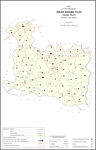
Rajamau is a village in Tiloi block of Rae Bareli district, Uttar Pradesh, India. As of 2011, its population is 2,171, in 329 households. It has one primary school and no healthcare facilities.

Hasanpur is a village in Singhpur block of Rae Bareli district, Uttar Pradesh, India. As of 2011, its population was 1,162, in 203 households. It has one primary school and no healthcare facilities.

Bhadmar is a village in Tiloi block of Rae Bareli district, Uttar Pradesh, India. As of 2011, its population is 2,038, in 349 households.

Pura Mani Manohar is a village in Tiloi block of Rae Bareli district, Uttar Pradesh, India. As of 2011, its population is 959, in 186 households. It has one primary school and no healthcare facilities.

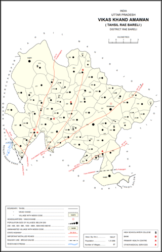
Sidhauna is a village in Amawan block of Rae Bareli district, Uttar Pradesh, India. It is located 16 km from Raebareli, the district headquarters. As of 2011, its population is 5,352, in 953 households. It has one primary school and no healthcare facilities.

Chandai Raghunathpur is a village in Sataon block of Rae Bareli district, Uttar Pradesh, India. It is located 14 km from Raebareli, the district headquarters. As of 2011, its population is 2,077, in 395 households. It has one primary school and no healthcare facilities.


