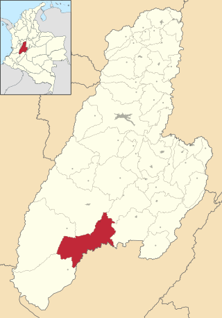
Baraya | |
---|---|
Municipality and town | |
Country | Colombia |
Department | Huila Department |
Area | |
• Total | 737 km2 (285 sq mi) |
Population (Census 2018 [2] ) | |
• Total | 6,679 |
• Density | 9.1/km2 (23/sq mi) |
Time zone | UTC-5 (Colombia Standard Time) |
Website | www.baraya-huila.gov.co |
Baraya is a town and municipality in the Huila Department of Colombia.
Climate data for Baraya (Manila La Hda), elevation 700 m (2,300 ft), (1981–2010) | |||||||||||||
---|---|---|---|---|---|---|---|---|---|---|---|---|---|
Month | Jan | Feb | Mar | Apr | May | Jun | Jul | Aug | Sep | Oct | Nov | Dec | Year |
Mean daily maximum °C (°F) | 32.9 (91.2) | 33.0 (91.4) | 32.4 (90.3) | 31.8 (89.2) | 31.8 (89.2) | 32.3 (90.1) | 32.9 (91.2) | 33.8 (92.8) | 33.9 (93.0) | 32.6 (90.7) | 31.2 (88.2) | 31.5 (88.7) | 32.5 (90.5) |
Daily mean °C (°F) | 27.2 (81.0) | 27.4 (81.3) | 27.1 (80.8) | 26.6 (79.9) | 26.6 (79.9) | 27.0 (80.6) | 27.3 (81.1) | 28.0 (82.4) | 28.0 (82.4) | 27.0 (80.6) | 26.1 (79.0) | 26.3 (79.3) | 27 (81) |
Mean daily minimum °C (°F) | 21.7 (71.1) | 21.9 (71.4) | 21.8 (71.2) | 21.7 (71.1) | 21.6 (70.9) | 21.5 (70.7) | 21.7 (71.1) | 22.1 (71.8) | 22.2 (72.0) | 21.8 (71.2) | 21.5 (70.7) | 21.5 (70.7) | 21.7 (71.1) |
Average precipitation mm (inches) | 53.9 (2.12) | 78.0 (3.07) | 125.2 (4.93) | 125.3 (4.93) | 96.1 (3.78) | 47.1 (1.85) | 32.2 (1.27) | 22.3 (0.88) | 49.6 (1.95) | 138.6 (5.46) | 158.7 (6.25) | 107.0 (4.21) | 1,034 (40.71) |
Average precipitation days | 8 | 9 | 13 | 15 | 15 | 13 | 12 | 11 | 10 | 15 | 16 | 11 | 146 |
Average relative humidity (%) | 69 | 68 | 71 | 73 | 73 | 69 | 64 | 61 | 62 | 69 | 74 | 74 | 69 |
Source: Instituto de Hidrologia Meteorologia y Estudios Ambientales [3] |
Climate data for Baraya (Sto Domingo), elevation 1,275 m (4,183 ft), (1981–2010) | |||||||||||||
---|---|---|---|---|---|---|---|---|---|---|---|---|---|
Month | Jan | Feb | Mar | Apr | May | Jun | Jul | Aug | Sep | Oct | Nov | Dec | Year |
Mean daily maximum °C (°F) | 28.4 (83.1) | 28.1 (82.6) | 28.0 (82.4) | 27.7 (81.9) | 27.6 (81.7) | 27.7 (81.9) | 27.5 (81.5) | 28.0 (82.4) | 28.5 (83.3) | 28.2 (82.8) | 27.2 (81.0) | 27.4 (81.3) | 27.9 (82.2) |
Daily mean °C (°F) | 23.3 (73.9) | 23.3 (73.9) | 23.0 (73.4) | 23.0 (73.4) | 23.0 (73.4) | 23.0 (73.4) | 22.8 (73.0) | 23.3 (73.9) | 23.5 (74.3) | 23.1 (73.6) | 22.6 (72.7) | 22.7 (72.9) | 23.0 (73.4) |
Mean daily minimum °C (°F) | 18.7 (65.7) | 19.0 (66.2) | 18.7 (65.7) | 18.6 (65.5) | 18.7 (65.7) | 18.5 (65.3) | 18.4 (65.1) | 18.5 (65.3) | 18.8 (65.8) | 18.7 (65.7) | 18.4 (65.1) | 18.4 (65.1) | 18.6 (65.5) |
Average precipitation mm (inches) | 50.9 (2.00) | 51.3 (2.02) | 115.7 (4.56) | 93.4 (3.68) | 102.2 (4.02) | 59.6 (2.35) | 49.3 (1.94) | 37.4 (1.47) | 51.5 (2.03) | 116.6 (4.59) | 117.8 (4.64) | 69.6 (2.74) | 904.5 (35.61) |
Average precipitation days | 7 | 8 | 14 | 15 | 16 | 14 | 14 | 12 | 13 | 16 | 15 | 11 | 151 |
Average relative humidity (%) | 75 | 75 | 77 | 79 | 79 | 77 | 74 | 73 | 72 | 76 | 81 | 79 | 76 |
Source: Instituto de Hidrologia Meteorologia y Estudios Ambientales [3] |
Ataco is a town and municipality located in the Tolima department of Colombia. The population of the municipality was 13,470 in the 2018 census.
Cajamarca is a town and municipality in the Tolima Department of Colombia. The population of the municipality was 17,309 as of the 2018 census. The municipality has two populated centres, the town centre of Cajamarca and the locality of Anaime. It is located along the Pan-American Highway.
Angostura is a town and municipality in Antioquia Department, Colombia. It is part of the subregion of Northern Antioquia. The population was 10,500 at the 2018 census.
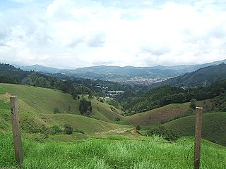
Caldas is a town and municipality in Antioquia Department, Colombia. Caldas is part of The Metropolitan Area of the Aburrá Valley. It is the seat of the Roman Catholic Diocese of Caldas. The population was estimated to be 83,423 in 2020.
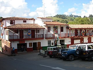
Entrerrios is a municipality in the Colombian subregion of Northern Antioquia, in the department of Antioquia. The population was 8,820 at the 2018 census. The population, according to the 2002 census, was 8,305 inhabitants.
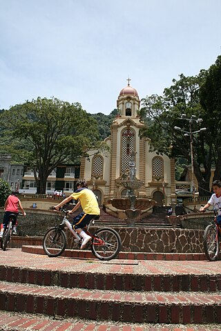
Fredonia is a town and municipality in the Colombian department of Antioquia. It is part of the sub-region of Southwestern Antioquia. According to the 2018 census, the population comprises 18,790 people.
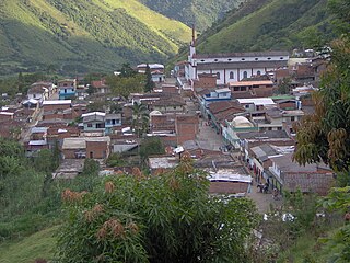
Liborina is a town and municipality in the Colombian department of Antioquia. The population was 7,928 at the 2018 census.
Valdivia is a town and municipality in Antioquia Department, Colombia. Part of the subregion of Northern Antioquia, its population was 11,511 at the 2018 census.
Venecia is a town and municipality in Antioquia Department, Colombia. According to the 2018 census, the population comprised 10,280 people.
Peque is a municipality in the Colombian department of Antioquia. The population was 7,155 at the 2018 census.
San Rafael is a town and municipality in Antioquia Department, Colombia. Part of the subregion of Eastern Antioquia.
Juan de Acosta is a municipality and town in the Colombian department of Atlántico.
Repelón is a Colombian municipality and town in the department of Atlántico.
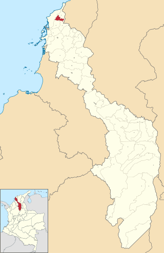
Clemencia is a town and municipality located in the Bolívar Department, northern Colombia.
San Juan de Caimito, also known as Caimito. Is a town and municipality located in the Sucre Department, northern Colombia.
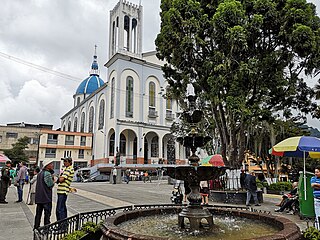
Aranzazu is a town and municipality in the Colombian Department of Caldas.
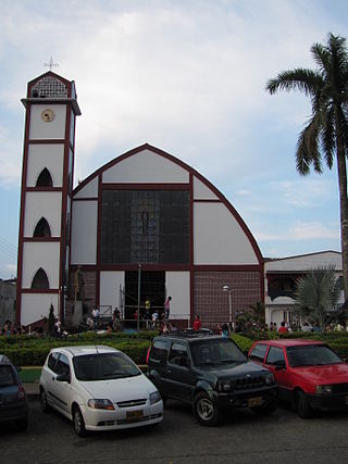
Belalcázar is a town and municipality in the Colombian Department of Caldas.
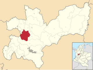
Filadelfia is a town and municipality in the Colombian Department of Caldas.
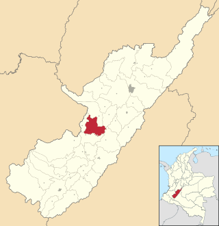
Tesalia is a town and municipality in the Huila Department, Colombia.
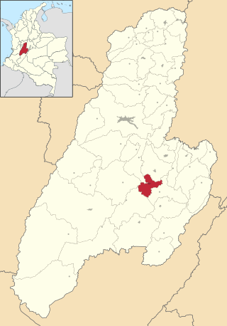
Saldaña is a town and municipality in the Tolima department of Colombia. Saldaña is where nearly 30% of Colombian rice is grown, and most of them work in the rice business. The population of the municipality was 14,273 as of the 1993 census.