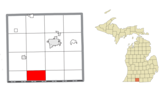
Bronson Township is a civil township of Branch County in the U.S. state of Michigan. As of the 2010 census, the township population was 1,349.

Gilead Township is a civil township of Branch County in the U.S. state of Michigan. As of the 2010 census, the township population was 661.

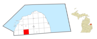
Grant Township is a civil township of Huron County in the U.S. state of Michigan. As of the 2000 census, the township population was 833.
Berlin Township is a civil township of Ionia County in the U.S. state of Michigan. As of the 2000 census, the township population was 2,787.
Easton Township is a civil township of Ionia County in the U.S. state of Michigan. The population was 2,835 at the 2000 census.

Keene Township is a civil township of Ionia County in the U.S. state of Michigan. The population was 1,660 at the 2000 census.
Orange Township is a civil township of Ionia County in the U.S. state of Michigan. The population was 1,040 at the 2000 census.
Portland Township is a civil township of Ionia County in the U.S. state of Michigan. The population was 2,460 at the 2000 census. The City of Portland is situated in the south central portion of the township, but is administratively autonomous.

Rollin Township is a civil township of Lenawee County in the U.S. state of Michigan. The population was 3,176 at the 2000 census.
Chippewa Township is a civil township of Mecosta County in the U.S. state of Michigan. As of the 2020 census, the township population was 1,227.
Bushnell Township is a civil township of Montcalm County in the U.S. state of Michigan. As of the 2020 census, the township population was 1,516.
Fairplain Township is a civil township of Montcalm County in the U.S. state of Michigan. The population was 1,802 at the 2020 census.
Ashland Township is a civil township of Newaygo County in the U.S. state of Michigan. As of the 2020 census, the township population was 2,764. The city of Grant is adjacent to the township. The township was established in 1854.
Greenwood Township is a civil township of Oceana County in the U.S. state of Michigan. As of the 2000 census, the township population was 1,154.

Georgetown Charter Township is a charter township of Ottawa County in the U.S. state of Michigan. The population was 46,985 at the time of the 2010 census. The city of Hudsonville is adjacent to the township and the unincorporated community of Jenison is within the township, which includes about half the township's population.
Wheatland Township is a civil township of Sanilac County in the U.S. state of Michigan. The population was 416 at the 2020 census.
Arlington Township is a civil township of Van Buren County in the U.S. state of Michigan. As of the 2020 census, the township population was 1,958. Arlington Township was established in 1842.

Waverly Township is a civil township of Van Buren County in the U.S. state of Michigan. The population was 2,554 at the 2010 census. Waverly Township was established in 1842.
Leonidas Township is a civil township of St. Joseph County in the U.S. state of Michigan. The population was 1,239 at the 2000 census.
Aetna Township is a civil township of Mecosta County in the U.S. state of Michigan. As of the 2020 census, the township population was 2,241.


