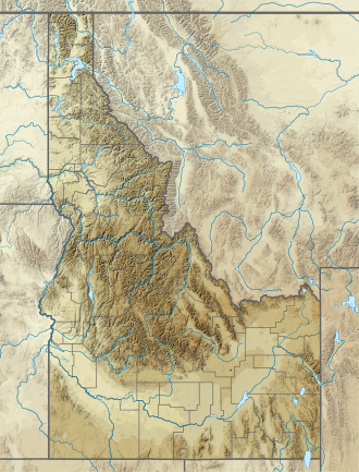
| Bluebox Lake | |
|---|---|
| Location | Boise County, Idaho |
| Coordinates | 44°09′26″N115°02′14″W / 44.157117°N 115.037167°W |
| Lake type | Glacial |
| Primary outflows | North Fork Baron Creek to South Fork Payette River |
| Basin countries | United States |
| Max. length | 0.22 mi (0.35 km) |
| Max. width | 0.15 mi (0.24 km) |
| Surface elevation | 8,790 ft (2,680 m) |
Bluebox Lake is a small alpine lake in Boise County, Idaho, United States, located in the Sawtooth Mountains in the Sawtooth National Recreation Area. The lake is most easily accessed from Sawtooth National Forest trail 478 south of Sawtooth Lake. [1]
Bluebox Lake is in the Sawtooth Wilderness, and a wilderness permit can be obtained at a registration box at trailheads or wilderness boundaries.

