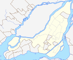
Dorval is an on-island suburban city on the island of Montreal in southwestern Quebec, Canada. In 2016, the Canadian Census indicated that the population increased by 4.2% to 18,980. Although the city has the largest surface area in Montréal’s west side, it is among the least densely populated. Montréal–Pierre Elliott Trudeau International Airport constitutes about 60% of the city's land; consequently, all of Dorval's population is concentrated in the southern part of the city.
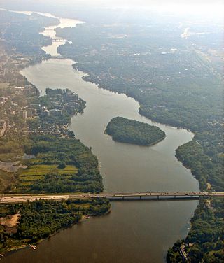
The Rivière des Prairies, called the Back River in English, is a delta channel of the Ottawa River in southwestern Quebec, Canada. The Kanien'kehá:ka called it Skowanoti, meaning "River behind the island". The river separates the cities of Laval and Montreal.

The West Island is the unofficial name given to the city, towns and boroughs at the western end of the Island of Montreal, in Quebec, Canada. It is generally considered to consist of the Lakeshore municipalities of Lachine, Dorval, Pointe-Claire, and Beaconsfield, the municipalities of Kirkland, Dollard-des-Ormeaux, Baie-D'Urfé, Sainte-Anne-de-Bellevue, the village of Senneville, and two North Shore boroughs of the city of Montreal: Pierrefonds-Roxboro and L'Île-Bizard–Sainte-Geneviève.

Dollard-des-Ormeaux is a city and a predominantly English-speaking suburb of Montreal in southwestern Quebec, Canada. It is located on the Island of Montreal. The town was named after French martyr Adam Dollard des Ormeaux.

The urban agglomeration of Montreal is an urban agglomeration in Quebec, Canada. Coextensive with the administrative region of Montréal, it is a territory equivalent to a regional county municipality (TE) and a census division (CD), for both of which its geographical code is 66. Prior to the merger of the municipalities in Region 06 in 2002, the administrative region was co-extensive with the Montreal Urban Community.
The 2000–2006 municipal reorganization in Quebec resulted in large-scale amalgamation of smaller municipalities in Quebec into larger cities. It was undertaken by one administration, but was modified and partially undone by its successor.
Dollard-Des Ormeaux–Roxboro is a former borough in the West Island area of Montreal, Quebec. It was composed of the former municipalities of Dollard-des-Ormeaux and Roxboro, and was formed on January 1, 2002.
Dollard was a federal electoral district in Quebec, Canada, that was represented in the House of Commons of Canada from 1953 to 1988.
Roxboro was a city on the Island of Montreal. It was founded in 1914, and ceased to exist on 1 January 2002 as a result of municipal reorganization in Quebec. The town was located along the Rivière des Prairies. At the time of the merger with Montreal, its population was 6,000.

Ahuntsic-Cartierville is a borough (arrondissement) of the city of Montreal, Quebec, Canada. The borough was created following the 2002 municipal reorganization of Montreal. It comprises two main neighbourhoods, Ahuntsic, a former village annexed to Montreal in 1910 and Cartierville, a town annexed to Montreal in 1916.

Saint-Laurent is a borough of the city of Montreal, Canada, located in the northern part of the island. Although it is no longer an independent city, it is still commonly known as Ville Saint-Laurent or by its initials, VSL.
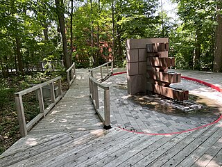
Pierrefonds-Roxboro is a borough of the city of Montreal. It was created January 1, 2006, following the demerger of parts of the city.
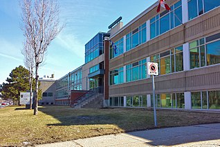
The Centre de services scolaire Marguerite-Bourgeoys is an autonomous school service centre on Montreal Island, Quebec, Canada, appointed by the Ministry of Education.
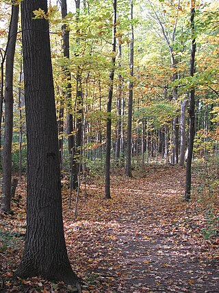
Cap-Saint-Jacques Nature Park is a large nature park in the Pierrefonds-Roxboro borough of Montreal, Quebec, Canada.

L'Anse-à-l'Orme Nature Park is a large nature park in the Pierrefonds-Roxboro borough of Montreal, Quebec, Canada.

Côte-Vertu Boulevard is a boulevard in the Saint-Laurent borough in Montreal, Quebec. It crosses the borough from north-east to south-west of the Air Canada Technical Center to the west of the Chomedey Highway Autoroute 13 to the Laurentian Autoroute 15 where it takes the name of Sauvé Street. The section inside the city of Dorval has remained under the name Côte-Vertu Road.

The Marguerite-Bourgeoys School Board was a French-language public school board on Montreal Island, Quebec, Canada. Its headquarters was in the Saint-Laurent borough of Montreal. Its education centre was in LaSalle, also in Montreal. It was named after Marguerite Bourgeoys (1620–1700), a French nun who helped start education infrastructure in the new colony.
The boroughs of Montreal, like the rest of Canada and the world, have been individually impacted by the COVID-19 pandemic.

