Bonares, Spain | |
|---|---|
 Flag  Coat of arms | |
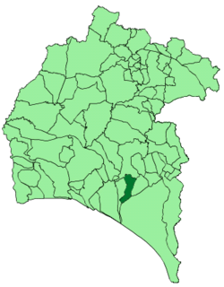 Location of Bonares | |
| Coordinates: 37°19′N6°40′W / 37.317°N 6.667°W | |
| Municipality | Huelva |
| Government | |
| • Mayor | Juan Antonio García García |
| Area | |
• Total | 66 km2 (25 sq mi) |
| • Land | 66 km2 (25 sq mi) |
| • Water | 0.00 km2 (0 sq mi) |
| Population (2024-01-01) [1] | |
• Total | 6,153 |
| • Density | 93/km2 (240/sq mi) |
| Time zone | UTC+1 (CET) |
| • Summer (DST) | UTC+2 (CEST) |

Bonares is a town and municipality located in the province of Huelva, Spain. According to the 2013 census, the city has a population of 6,282 inhabitants.