Werl Prison has about 900 inmates, and is one of the largest prisons in Germany. It is located in the town of Werl in the state of North Rhine-Westphalia, east of Dortmund.

Prins Alexander is a borough in the northeast of Rotterdam, Netherlands.

Godnowa is a village in the administrative district of Gmina Milicz, within Milicz County, Lower Silesian Voivodeship, in south-western Poland. Prior to 1945 it was in Germany.
Wilkowice is a village in the administrative district of Gmina Żórawina, within Wrocław County, Lower Silesian Voivodeship, in south-western Poland. Prior to 1945 it was in Germany. It lies approximately 5 kilometres (3 mi) south-east of Żórawina and 21 km (13 mi) south of the regional capital Wrocław.
Huta is a village in the administrative district of Gmina Cekcyn, within Tuchola County, Kuyavian-Pomeranian Voivodeship, in north-central Poland. It lies approximately 3 kilometres (2 mi) south-west of Cekcyn, 10 km (6 mi) south-east of Tuchola, and 50 km (31 mi) north of Bydgoszcz.
Julianowo is a village in the administrative district of Gmina Barcin, within Żnin County, Kuyavian-Pomeranian Voivodeship, in north-central Poland. It lies approximately 4 kilometres (2 mi) north of Barcin, 18 km (11 mi) east of Żnin, and 27 km (17 mi) south of Bydgoszcz.

Göyməmmədli is a village in the Shamkir Rayon of Azerbaijan. The village forms part of the municipality of Qasımalılar.
Szaniawy-Poniaty is a village in the administrative district of Gmina Trzebieszów, within Łuków County, Lublin Voivodeship, in eastern Poland.
Chomentówek is a village in the administrative district of Gmina Chmielnik, within Kielce County, Świętokrzyskie Voivodeship, in south-central Poland. It lies approximately 8 kilometres (5 mi) south-west of Chmielnik and 36 km (22 mi) south of the regional capital Kielce.
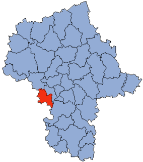
Podlesie is a village in the administrative district of Gmina Radzanów, within Białobrzegi County, Masovian Voivodeship, in east-central Poland.
Nowe Mierzwice is a village in the administrative district of Gmina Sarnaki, within Łosice County, Masovian Voivodeship, in east-central Poland.
Buczynów is a village in the administrative district of Gmina Góra Kalwaria, within Piaseczno County, Masovian Voivodeship, in east-central Poland. It lies approximately 4 kilometres (2 mi) south-west of Góra Kalwaria, 17 km (11 mi) south-east of Piaseczno, and 33 km (21 mi) south of Warsaw.
Grochy-Imbrzyki is a village in the administrative district of Gmina Gzy, within Pułtusk County, Masovian Voivodeship, in east-central Poland.
Wieleń Zaobrzański is a village in the administrative district of Gmina Przemęt, within Wolsztyn County, Greater Poland Voivodeship, in west-central Poland. It lies approximately 12 kilometres (7 mi) south-west of Przemęt, 20 km (12 mi) south of Wolsztyn, and 71 km (44 mi) south-west of the regional capital Poznań.
Jeziorna is a village in the administrative district of Gmina Nowa Sól, within Nowa Sól County, Lubusz Voivodeship, in western Poland. It lies approximately 19 kilometres (12 mi) north-east of Nowa Sól and 31 km (19 mi) east of Zielona Góra.
Nowy Młyn is a settlement in the administrative district of Gmina Dobiegniew, within Strzelce-Drezdenko County, Lubusz Voivodeship, in western Poland. It lies approximately 4 kilometres (2 mi) south-east of Dobiegniew, 20 km (12 mi) north-east of Strzelce Krajeńskie, and 44 km (27 mi) north-east of Gorzów Wielkopolski.

Stężyca is a village in Kartuzy County, Pomeranian Voivodeship, in northern Poland. It is the seat of the gmina called Gmina Stężyca. It lies approximately 22 kilometres (14 mi) south-west of Kartuzy and 48 km (30 mi) west of the regional capital Gdańsk.
Modlinek is a village in the administrative district of Gmina Ustka, within Słupsk County, Pomeranian Voivodeship, in northern Poland. It lies approximately 5 kilometres (3 mi) south-west of Ustka, 19 km (12 mi) north-west of Słupsk, and 122 km (76 mi) west of the regional capital Gdańsk.
Skalno is a settlement in the administrative district of Gmina Szczecinek, within Szczecinek County, West Pomeranian Voivodeship, in north-western Poland.
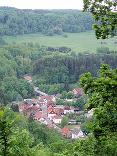
The Böser Kleef is a rock formation, 440 metres above sea level, near the village of Altenbrak in the district of Harz in central Germany. It is made largely of granite.