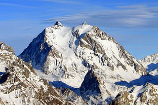
Mont-Blanc[mɔ̃ blɑ̃] was a department of the First French Empire. It was named after Mont Blanc, the highest mountain in Western Europe, which marks the border between France and Piedmont. It was formed in 1792, when the Savoy region, was occupied by the French. The department ceased to exist following Napoleon's defeat at Waterloo; the territory was restored to its former rulers.

Saint-Jean-de-Maurienne is a commune in the Savoie department in the Auvergne-Rhône-Alpes region in south-eastern France. It is a sub-prefecture of the department.

The arrondissement of Saint-Jean-de-Maurienne is an arrondissement of France in the Savoie department in the Auvergne-Rhône-Alpes region. It has 56 communes. The area corresponds to the former province of Maurienne.
The following is a list of the 19 cantons of the Savoie department, in France, following the French canton reorganisation which came into effect in March 2015:

Maurienne is one of the provinces of Savoy, corresponding to the arrondissement of Saint-Jean-de-Maurienne in France. It is also the original name of the capital of the province, now Saint-Jean-de-Maurienne.

The A43 autoroute, also known as l'autoroute alpine and l'autoroute de la Maurienne, is a motorway in France. Travelling through the French Alps, the road connects the city of Lyon with the Tunnel du Fréjus, near Modane, which passes the Italian border towards Turin. The autoroute opened in phases as it was constructed between 1973 and 1998.
The Canton of Montmélian is a canton located within the Savoie department of France.
Canton of Matheysine-Trièves is a canton of the Isère département, in south-eastern part of France. It was created at the French canton reorganisation which came into effect in March 2015. The seat of the canton is in La Mure. It takes its name from the regions Matheysine and Trièves.

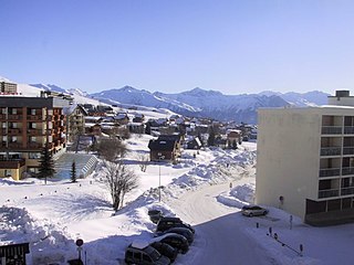
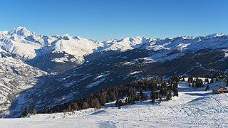
Les Sybelles is a French linked ski area, located in the Savoie department in the Alps. It is one of the largest skiable domains in France. The resort was the home base of Jean-Pierre Vidal, winner of the gold medal in slalom at the 2002 Winter Olympics in Salt Lake City.
The canton of Modane is an administrative division of the Savoie department, southeastern France. Its borders were modified at the French canton reorganisation which came into effect in March 2015. Its seat is in Modane.
The canton of Moûtiers is an administrative division of the Savoie department, southeastern France. Its borders were modified at the French canton reorganisation which came into effect in March 2015. Its seat is in Moûtiers.
The canton of Le Pont-de-Beauvoisin is an administrative division of the Savoie department, southeastern France. Its borders were modified at the French canton reorganisation which came into effect in March 2015. Its seat is in Le Pont-de-Beauvoisin.
The canton of Saint-Alban-Leysse is an administrative division of the Savoie department, southeastern France. Its borders were modified at the French canton reorganisation which came into effect in March 2015. Its seat is in Saint-Alban-Leysse.
The canton of Saint-Pierre-d'Albigny is an administrative division of the Savoie department, southeastern France. Its borders were modified at the French canton reorganisation which came into effect in March 2015. Its seat is in Saint-Pierre-d'Albigny.

The canton of Ugine is an administrative division of the Savoie department, southeastern France. Its borders were modified at the French canton reorganisation which came into effect in March 2015. Its seat is in Ugine.
The canton of Faverges is an administrative division of the Haute-Savoie department, southeastern France. Its borders were modified at the French canton reorganisation which came into effect in March 2015. Its seat is in Faverges-Seythenex.
The canton of Bonneville is an administrative division of the Haute-Savoie department, southeastern France. Its borders were modified at the French canton reorganisation which came into effect in March 2015. Its seat is in Bonneville.
The canton of Le Moyen Grésivaudan is an administrative division of the Isère department, eastern France. It was created at the French canton reorganisation which came into effect in March 2015. Its seat is in Crolles.

Seyssel is an ancient french family which is first mentioned in Savoy in the thirteenth century and probably dates back some time earlier. The name derives from city of Seyssel, and the family's various branches held the titles of viscounts, earls, barons and marquises over the course of time. Its members were positioned in the first rank at the court of the Counts of Savoy and the bishops of Geneva. Today there are branches of the Seyssel in Italy, Bavaria, Austria and France.


