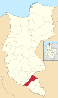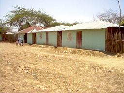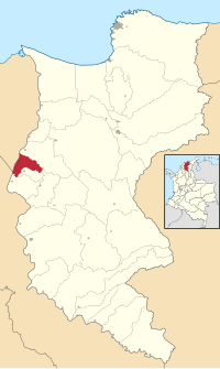
Angostura is a town and municipality in Antioquia Department, Colombia. Part of the subregion of Northern Antioquia.

Coello is a town and municipality in the Tolima Department of Colombia, located by the Magdalena River, and some 137 km from the Colombian capital Bogotá. The town was founded in 1600.

Aguachica, is a small city and municipality in the southern region of the Cesar Department, Colombia. It was officially founded on August 16, 1748, by José Lázaro de Rivera.

Ciénaga is a municipality and a town in the Magdalena Department, Colombia, the second largest population center in this department, after the city of Santa Marta. It is situated at 11° 00' North, 74° 15' West, between the Sierra Nevada de Santa Marta, the Caribbean Sea and the Ciénaga Grande de Santa Marta marsh in northern Colombia. The town is situated in the northern part of Magdalena, 35 km from Santa Marta. According to estimations, in 2019, there were 105,510 inhabitants. The mean annual temperature is 34 °C.

The Ciénaga Grande de Santa Marta is the largest of the swampy marshes located in Colombia between the Magdalena River and the Sierra Nevada de Santa Marta. It has an area of 4280 km2 and belongs to the outer delta system of the Madgalena River. It is separated from the Caribbean Sea by a narrow, sandy artificial spit built in the 1950s, on which is situated coastal route 90 from Barranquilla to Santa Marta. The marsh's large lagoon is connected to the Caribbean Sea via a narrow strait located between the town of Pueblo Viejo and the city of Ciénaga.

El Piñón is a town and municipality of the Colombian Department of Magdalena. Officially founded in 1760 by Francisco Sayas, Ignacio Crespo, Vicente De la Hoz and others. On April 20, 1915 was proclaimed a municipality. Its economy is based on agriculture and farming. Its main tourist attraction is the Iglesia San Pedro Mártir and the Ave Maria Monument. The town celebrates carnivals, the Saint Peter of Verona Day in April, El Milagroso in September, the Unedited Song Festival and the Decimates Festival.

Fundación is a town and municipality of the Colombian Department of Magdalena. Its people are known as Fundanenses. The primary economic activity is livestock-raising, for production of both meat and milk. Other crops are: corn, yuca, oranges, bananas, beans, sesame, sorghum, rice, tomatoes, and tobacco. There is also artisanal fishing.

Pedraza is a town and municipality of the Colombian Department of Magdalena.

Algarrobo is a town and municipality of the Magdalena Department in northern Colombia. Founded in 1895 by José Felipe Oñate. Erected municipality by ordinance 008 of June 24, 1999.

Pivijay is a town and municipality of the Colombian Department of Magdalena. Founded in 1774 by José Flores, Julian Valera y Antonio Sánchez. Promoted to municipality in 1912.

Remolino is a town and municipality of the Colombian Department of Magdalena. Founded between 1752 and 1776 by Fernando de Mier y Guerra. Erected municipality in 1814.

Sabanas de San Ángel, Spanish for Savannas of Saint Angel, is a town and municipality of the Colombian Department of Magdalena. Founded around 1607 with the name San Antoñito by the Spanish Colonizers as a pathway town in the route between La Guajira Department and the Magdalena River. On June 24, 1999 the municipality is created with the name of Sabanas de San Angel that segregated from the municipalities of Ariguaní, Pivijay, Chibolo and Plato.

San Sebastián de Buenavista is a town and municipality of the Colombian Department of Magdalena. Founded in 1748 by Fernando de Mier y Guerra with the name San Sebastián de Melchiquejo, but was later changed on November 15, 1957 when it was erected municipality.

San Zenón is a town and municipality of the Colombian Department of Magdalena. It was founded in 1751 by Antonio de Mier y Guerra. On April 30, 1950, it was elevated to the category of municipality.

Concordia is a town and municipality of the Magdalena Department in northern Colombia. Founded by Mandate 007 of June 24, 1999 with portion of territories from the municipalities of Cerro San Antonio and Pedraza.

El Retén is a town and municipality of the Magdalena Department in northern Colombia.

Pijiño or Pijiño del Carmen is a town and municipality of the Magdalena Department in northern Colombia.

Tenerife is a town and municipality of the Magdalena Department in northern Colombia.

Zona Bananera is a municipality of the Magdalena Department in northern Colombia. Its main town is Prado Sevilla.

Polonuevo is a municipality and town in the Colombian department of Atlántico.


