Cerro San Eugenio | |
|---|---|
Village | |
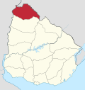
 Cerro San Eugenio Location in Uruguay | |
| Coordinates: 30°25′40″S56°28′15″W / 30.42778°S 56.47083°W | |
| Country | |
| Department | Artigas Department |
| Population (2011) | |
• Total | 425 |
| Time zone | UTC - 3 |
| Postal code | 55100 |
| Dial plan | +598 477 (+5 digits) |
Cerro San Eugenio is a village in the Artigas Department of northern Uruguay.