
Birbhum district is an administrative unit in the Indian state of West Bengal. It is the northernmost district of Burdwan division—one of the five administrative divisions of West Bengal. The district headquarters is in Suri. Other important cities are Bolpur, Rampurhat and Sainthia. Jamtara, Dumka and Pakur districts of the state of Jharkhand lie at the western border of this district; the border in other directions is covered by the districts of Bardhaman and Murshidabad of West Bengal.

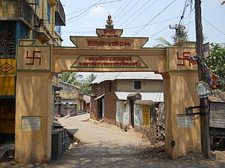
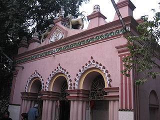
Sainthia is a city and a municipality in Suri Sadar subdivision of Birbhum district in the Indian state of West Bengal. The city is known as business city of Birbhum district. The city is under the jurisdiction of Sainthia police station. Sainthia is the fourth most populous city in Birbhum district and 95th most populous city in West Bengal. The city covers an area of 10 km2 and had a population of 44,601 in 2011. Located on the banks of Mayurakshi River, Sainthia has been a major human settlement. The city is famous for Nandikeshwari Temple, one of the Shakti Peethas in Indian subcontinent.
Mayureswar II is a community development block that forms an administrative division in Rampurhat subdivision of Birbhum district in the Indian state of West Bengal.
Nanoor, is a village in Nanoor CD block in Bolpur subdivision of Birbhum district in West Bengal. Nanoor is the birthplace of 14th century lyric poet Chandidas of Vaishnava Padavali fame. It is developing as a craft centre with NGO support. With the massacres in 2000, Nanoor was in intense media focus.
Mohammad Bazar is a community development block that forms an administrative division in Suri Sadar subdivision of Birbhum district in the Indian state of West Bengal.

Mallarpur is a census town in Mayureswar I CD Block in Rampurhat subdivision of Birbhum district in the Indian state of West Bengal.
Suri I is a community development block that forms an administrative division in Suri Sadar subdivision of Birbhum district in the Indian state of West Bengal.
Suri II is a community development block that forms an administrative division in Suri Sadar subdivision of Birbhum district in the Indian state of West Bengal.
Dubrajpur is a community development block that forms an administrative division in Suri Sadar subdivision of Birbhum district in the Indian state of West Bengal.

Rajnagar is a community development block that forms an administrative division in Suri Sadar subdivision of Birbhum district in the Indian state of West Bengal.
Bolpur Sriniketan is a community development block that forms an administrative division in Bolpur subdivision of Birbhum district in the Indian state of West Bengal.

Ilambazar is a community development block that forms an administrative division in Bolpur subdivision of Birbhum district in the Indian state of West Bengal.
Labpur is a community development block that forms an administrative division in Bolpur subdivision district of Birbhum district in the Indian state of West Bengal.

Nanoor is a community development block that forms an administrative division in Bolpur subdivision of Birbhum district in the Indian state of West Bengal.
Mayureswar I is a community development block that forms an administrative division in Rampurhat subdivision of Birbhum district in the Indian state of West Bengal.
Nalhati I is a community development block that forms an administrative division in Rampurhat subdivision of Birbhum district in the Indian state of West Bengal.
Purandarpur is a village in Suri II CD block in Suri Sadar subdivision of Birbhum district in the state of West Bengal, India.
In religion and spirituality, a pilgrimage is a very long journey or search of great moral significance. Sometimes, it is a journey to a sacred area or shrine of importance to innate faith. Members of every major religion participate in pilgrimages. A person who makes such a journey is called a pilgrim.

Suri is a city and a municipality in the Indian state of West Bengal. It is the headquarters of the Birbhum district.
Bhandirban is a village in Birbhum district of West Bengal state. The name of the place is also spelled alternatively as Bhandier Bon. Bhandirban village is administered by the Khatanga, West Bengal gram panchayat of Suri I community development block in Suri Sadar subdivision of Birbhum district. The village is located on the banks of the Mayurakshi River on Suri-Dumka highway at a distance of 10 km from the district headquarter at Suri, Birbhum.


