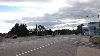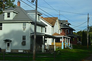
Trout Lake Township is a civil township of Chippewa County in the U.S. state of Michigan. The population was 332 at the 2020 census, down from 384 at the 2010 census.

Pleasantview Township is a civil township of Emmet County in the U.S. state of Michigan. The population was 823 at the 2010 census.

Sand Beach Township is a civil township of Huron County in the U.S. state of Michigan. The population was 1,470 at the 2000 census.

Canada Creek Ranch is an unincorporated community in Montmorency Township, Montmorency County in the U.S. state of Michigan. It is a census-designated place (CDP) used for statistical purposes. The population was 405 at the 2000 census.
Maple Valley Township is a civil township of Sanilac County in the U.S. state of Michigan. The population was 1,178 at the 2020 census.

Lynn Township is a civil township of St. Clair County in the U.S. state of Michigan. The population was 1,229 at the 2010 Census.
Walden Township is a township in Cass County, Minnesota, United States. The population was 405 as of the 2000 census. Walden Township was named after Walden Pond, in Massachusetts.
Amherst Township is a township in Fillmore County, Minnesota, United States. The population was 405 at the 2000 census.
Carlston Township is a township in Freeborn County, Minnesota, United States. The population was 332 at the 2000 census.
Clinton Township is a township in Saint Louis County, Minnesota, United States. Clinton Township was named for Clinton Markell, a prominent settler. The population was 1,015 at the 2010 census.
Getty Township is a township in Stearns County, Minnesota, United States. The population was 376 at the 2010 census.
Wykeham Township is a township in Todd County, Minnesota, United States. Wykeham Township was originally called Eden Township and was organized in 1880 under the latter name.
French Lake Township is a township in Wright County, Minnesota, United States. The unincorporated community of French Lake is located within French Lake Township. The population was 1,130 at the 2000 census.
Silver Creek Township is a township in Wright County, Minnesota, United States. The population was 2,332 at the 2000 census.

Gulich Township is a township in Clearfield County, Pennsylvania, United States. The population was 1,204 at the 2020 census.

Perry Township is a township in Mercer County, Pennsylvania, United States. The population was 1,332 at the 2020 census, down from 1,453 in 2010.

Pittsfield Township is a township in Warren County, Pennsylvania, United States. The population was 1,288 at the 2020 census, down from 1,405 at the 2010 census. 1,519 at the 2000 census.

Lower Windsor Township is a township in York County, Pennsylvania, United States. The population was 7,511 at the 2020 census. Samuel S. Lewis State Park overlooks the Susquehanna River in the eastern part of the township.
North Penobscot is an unorganized territory in Penobscot County, Maine, United States. The population was 405 at the 2020 census.
Dover Township is a civil township of Lake County in the U.S. state of Michigan. The population was 332 at the 2000 census.


