 Zorbas at peak intensity over the Ionian Sea | |
| Meteorological history | |
|---|---|
| Formed | 27 September 2018 |
| Dissipated | 2 October 2018 |
| Category 1-equivalent tropical cyclone | |
| 1-minute sustained (SSHWS) | |
| Highest winds | 120 km/h (75 mph) |
| Highest gusts | 120 km/h (75 mph) |
| Lowest pressure | 987 hPa (mbar);29.15 inHg |
| Overall effects | |
| Fatalities | 6 dead,2 missing |
| Damage | >$1 million (2018 USD) |
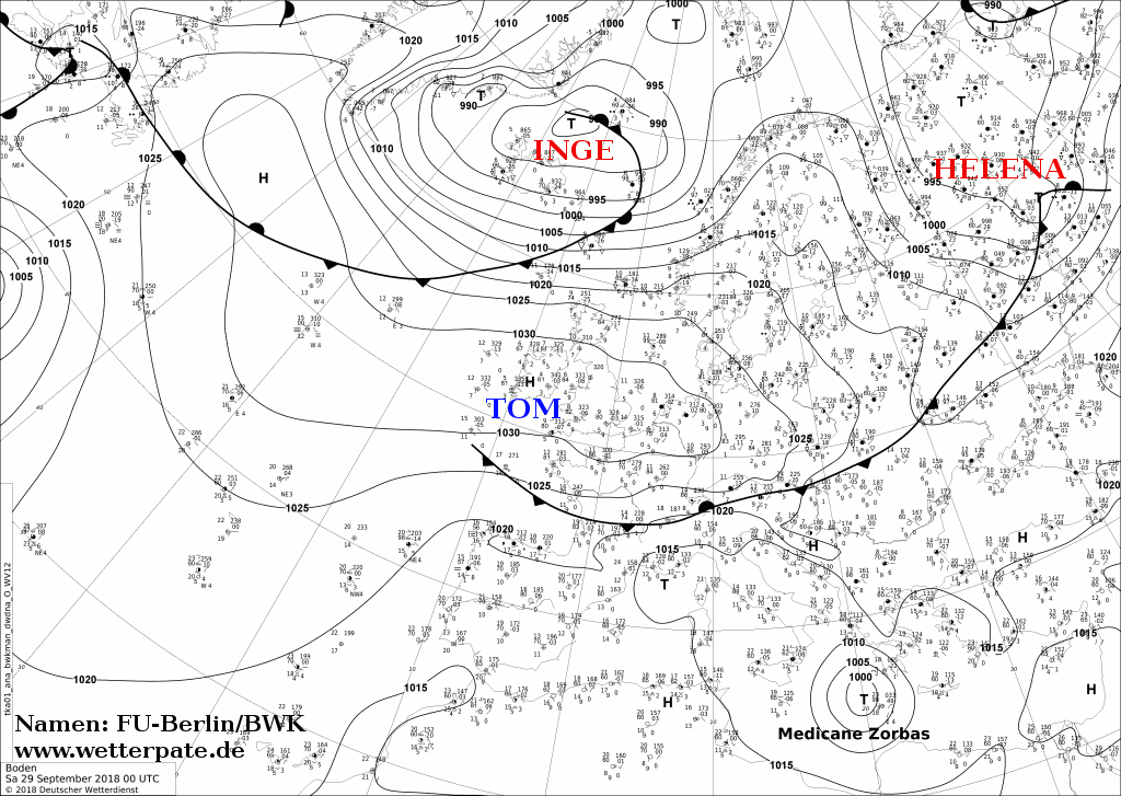
Cyclone Zorbas,or Medicane Zorbas,was the first officially documented Mediterranean tropical-like cyclone,or medicane,since Cyclone Numa in 2017. Zorbas originated as an extratropical cyclone in the eastern Mediterranean Sea. [1] Warm sea surface temperatures allowed the system to quickly deepen and transition into a tropical cyclone. Zorbas intensified as it headed northward towards Greece,finally reaching its peak intensity with maximum sustained winds of 120 km/h (75 mph) and a minimum central pressure of 987 mbar (29.15 inHg) on September 29. [2]
Contents
Heavy rain and flash flooding from Zorbas killed 5 people in Tunisia. One person was killed and two were declared missing in Greece. [3] The storm was estimated to have caused millions of dollars (2018 USD) in damages. [4]
