Pforzheim is a city of over 125,000 inhabitants in the federal state of Baden-Württemberg, in the southwest of Germany.
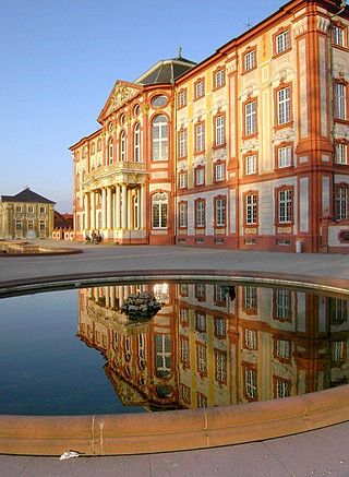
Bruchsal is a city at the western edge of the Kraichgau, approximately 20 km northeast of Karlsruhe in the state of Baden-Württemberg, Germany. It is located on Bertha Benz Memorial Route.
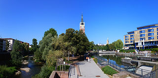
Rheinstetten is a town in the west of Baden-Württemberg on the border to Rhineland-Palatinate. It is situated to the south-west of Karlsruhe and belongs to the rural district of Karlsruhe. The city has fewer inhabitants than Bruchsal, Ettlingen, Bretten and Stutensee and is therefore the fifth largest city in the district of Karlsruhe. Since 2005 it has formed part of a regional organization for economy, science, culture and administration, the Technologieregion Karlsruhe.
Lahr ; Low Alemannic: Lohr) is a town in western Baden-Württemberg, Germany, approximately 50 km north of Freiburg im Breisgau, 40 km southeast of Strasbourg, and 95 km southwest of Karlsruhe. It is the second largest city in Ortenau (district) after Offenburg, and serves as an intermediate economic centre for the cities and towns of Ettenheim, Friesenheim, Kappel-Grafenhausen, Kippenheim, Mahlberg, Meißenheim, Ringsheim, Rust, Schuttertal, Schwanau and Seelbach.

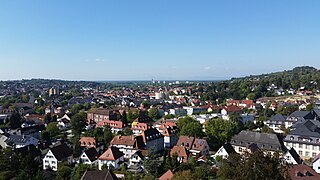
Ettlingen is a town in Baden-Württemberg, Germany, about 8 kilometres (5 mi) south of the city of Karlsruhe and approximately 15 kilometres (9 mi) from the border with Lauterbourg, in France's Bas-Rhin department. Ettlingen is the second largest town in the district of Karlsruhe, after Bruchsal.
Achern is a town in Western Baden-Württemberg, Germany.
Bad Wimpfen is a historic spa town in the district of Heilbronn in the Baden-Württemberg region of southern Germany. It lies north of the city of Heilbronn, on the river Neckar.

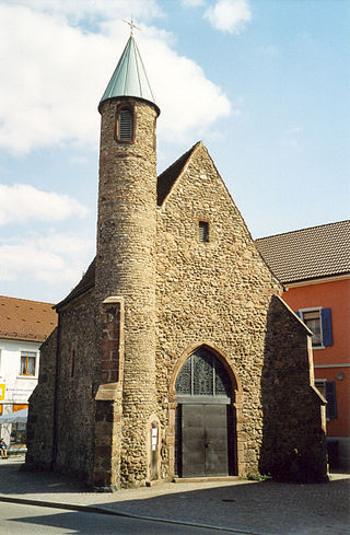
Kandern is a town in southwestern Germany in the state of Baden-Württemberg, in the Kreis (district) of Lörrach. During the Battle of Schliengen, in which the French Revolutionary army fought the forces of Austria, the battle lines of both armies ended in Kandern. It is not far from a tripoint where the three countries Germany, France and Switzerland meet and is one of the smallest cities in Germany.

Gaggenau is a town in the district of Rastatt, in Baden-Württemberg, Germany. It is located some 8 km northeast of Baden-Baden.

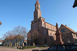
Bad Rappenau is a city municipality in the district of Heilbronn in Baden-Württemberg in southern Germany. It is situated about 15 kilometres (9 mi) northwest of Heilbronn.

Buchen is a town in the German state of Baden-Württemberg. It is situated in the Odenwald low mountain range, 23 km northeast of the regional center Mosbach.
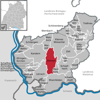
Steinen is a municipality in the district of Lörrach in the southwest of Baden-Württemberg, Germany. It is situated on the river Wiese, 15 km northeast of Basel, and 6 km northeast of Lörrach.
Schönau is a city with approximately 4400 inhabitants in the district of Rhein-Neckar-Kreis, in Baden-Württemberg, Germany. It is situated in the Odenwald hills, 10 km northeast of Heidelberg. Schönau Abbey is located here.
Dielheim is a municipality in the Rhein-Neckar district of Baden-Württemberg, Germany.

Schliengen is a municipality in southwestern Germany in the state of Baden-Württemberg, in the Kreis (district) of Lörrach. Schliengen's claim to international fame is the Battle of Schliengen, fought between forces of the French Revolutionary army under Jean-Victor Moreau and the Austrian army under Karl von Österreich-Teschen. As both sides claimed victory, the battle is commemorated on a monument in Vienna and on the Arc de Triomphe in Paris.

Spechbach is a town in the district of Rhein-Neckar in Baden-Württemberg in Germany.
Gehlweiler is an Ortsgemeinde – a municipality belonging to a Verbandsgemeinde, a kind of collective municipality – in the Rhein-Hunsrück-Kreis (district) in Rhineland-Palatinate, Germany. It belongs to the Verbandsgemeinde of Kirchberg, whose seat is in the like-named town.

Mengerschied is an Ortsgemeinde – a municipality belonging to a Verbandsgemeinde, a kind of collective municipality – in the Rhein-Hunsrück-Kreis (district) in Rhineland-Palatinate, Germany. It belongs to the Verbandsgemeinde Simmern-Rheinböllen, whose seat is in Simmern.

Ober Kostenz is an Ortsgemeinde – a municipality belonging to a Verbandsgemeinde, a kind of collective municipality – in the Rhein-Hunsrück-Kreis (district) in Rhineland-Palatinate, Germany. It belongs to the Verbandsgemeinde of Kirchberg, whose seat is in the like-named town.

Schlierschied is an Ortsgemeinde – a municipality belonging to a Verbandsgemeinde, a kind of collective municipality – in the Rhein-Hunsrück-Kreis (district) in Rhineland-Palatinate, Germany. It belongs to the Verbandsgemeinde of Kirchberg, whose seat is in the like-named town.


