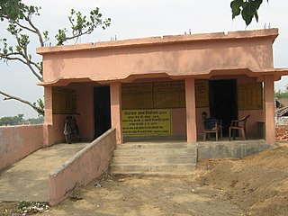
Purnia District is one of the thirty-eight districts of the Indian state of Bihar. The city of Purnia is the administrative headquarters of this district. The city of Purnia has continued its tradition of hoisting the national flag at 12:07 am on every Independence Day since 1947. Purnia district is a part of Purnia Division. The district extends northwards from the Ganges river.
Bishunpur block is a CD block that forms an administrative division in the Gumla subdivision of Gumla district, in the Indian state of Jharkhand.

Piro is a nagar parishad town and corresponding community development block in Bhojpur District, in the Indian state of Bihar.
Sharsha is an upazila of Jessore District in the Division of Khulna, Bangladesh.
Bishunpur is a village in the Bishunpur CD block in the Gumla subdivision of the Gumla district in the Indian state of Jharkhand.
Gurdari is a village/ Bauxite mining centre in the Bishunpur CD block in the Gumla subdivision of the Gumla district in the Indian state of Jharkhand.

Bela Gusisi is a village in Rahi block of Rae Bareli district, Uttar Pradesh, India. It is located 13 km from Rae Bareli, the district headquarters. As of 2011, it has a total population of 7,320 people, in 1,301 households. It has one primary school and no medical facilities and it does not host a weekly haat or a permanent market. It belongs to the nyaya panchayat of Bela Bhela.

Musabani block is a CD block that forms an administrative division in the Ghatshila subdivision of East Singhbhum district, in the Indian state of Jharkhand.
Dumaria block is a CD block that forms an administrative division in the Ghatshila subdivision of East Singhbhum district, in the Indian state of Jharkhand.

Satar Kataiya, or Sattar Kataiya, is a tehsil of Saharsa District, Bihar, India. Its seat of government is located in the village of Sattar. As of the year 2011, its population is 151,060.
Raj Khand is a village in Aurai Block, Muzaffarpur District, Bihar, India. It is located on Northern Bihar, about 45 kilometres northeast of the district capital Muzaffarpur, and 14 kilometres southeast of the block capital Aurai. As of the year 2011, it is home to 19,296 inhabitants.
Aurai is a block of Muzaffarpur District, Bihar, India. Its administrative center is the village of Aurai. As of 2011, the block has a total population of 290,545.
Dhamdaha is a village and the administrative division of Dhamdaha Block, Purnia District, Bihar, India. It is situated in the Eastern part of Bihar, about 26 kilometres southwest of the block capital Purnia. In the year 2011, the village has a total population of 37,987.


