
Apalachicola Regional Airport is a county-owned, public-use airport located two nautical miles (4 km) west of the central business district of Apalachicola, a city in Franklin County, Florida, United States. It is included in the National Plan of Integrated Airport Systems for 2011–2015, which categorized it as a general aviation facility. It was previously known as Apalachicola Municipal Airport. The airport supports general aviation activity in the area and provides service via a tenant fixed-base operator (FBO).
Douglas Municipal Airport is a public airport located two miles (3 km) south of the central business district of Douglas, a city in Coffee County, Georgia, United States. It is owned by the City of Douglas.

Tracy Municipal Airport is three miles (5 km) southwest of Tracy, in San Joaquin County, California. It is owned by the City of Tracy.

Turlock Municipal Airport is a public airport located eight miles (13 km) east of Turlock, in Merced County, California, United States. This general aviation airport covers 320 acres (129 ha) and has one runway. It was purposed during World War II to train pilots for air combat.

Perry–Houston County Airport is a public airport located four miles (6 km) northwest of the central business district of Perry, a city in Houston County, Georgia, United States and 10 miles (16 km) south of Warner Robins, Georgia. It is owned by the Perry–Houston County Airport Authority. It is used for general aviation, mainly flight training.
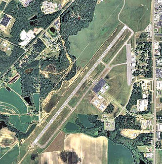
Decatur County Industrial Air Park is a county-owned public-use airport located six nautical miles (11 km) northwest of the central business district of Bainbridge, a city in Decatur County, Georgia, United States.

Hatbox Field is a closed airfield located within city limits, two nautical miles (3.7 km) west of central Muskogee, a city in Muskogee County, Oklahoma, United States. It was opened sometime in the early 1920s and was closed in 2000. It is the location of the Love-Hatbox Sports Complex, a large recreation center and waterpark.

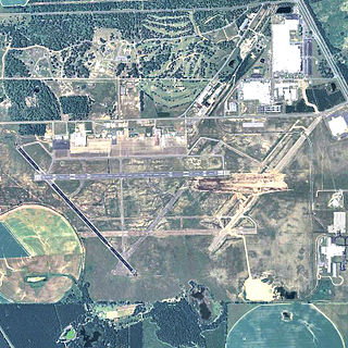
Blackstone Army Airfield, also known as Allen C. Perkinson Airport, is located two miles (3 km) east of the central business district of Blackstone, a town in Nottoway County, Virginia, United States. It is owned by the United States Army and the Town of Blackstone.

Newport Municipal Airport is a city-owned public-use airport located five nautical miles northeast of the central business district of Newport, a city in Jackson County, Arkansas, United States. It is included in the National Plan of Integrated Airport Systems for 2011–2015, which categorized it as a general aviation airport.

Stuttgart Municipal Airport is in Prairie County, Arkansas. It is eight miles north of Stuttgart, which owns the airport and is the county seat of Arkansas County's northern district. The FAA's National Plan of Integrated Airport Systems for 2009–2013 categorized it as a general aviation facility.
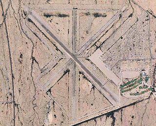
Eric Marcus Municipal Airport is a county-owned, public-use airport in Pima County, Arizona, United States. It is located 5.75 miles north of the central business district of Ajo and is about 82 miles southwest of Phoenix. The airport was renamed on February 11, 2006; it was formerly known as Ajo Municipal Airport.

Vidalia Regional Airport is a city-owned public-use airport located three nautical miles (6 km) southeast of the central business district of the city Vidalia, in Toombs County, Georgia, United States.

Lake Wales Municipal Airport is a public-use airport located 2 miles (3.2 km) west of the central business district of the city of Lake Wales in Polk County, Florida, United States. The airport is publicly owned.

Cut Bank Municipal Airport is three miles southwest of Cut Bank, in Glacier County, Montana, United States. It is owned by Cut Bank and Glacier County.

Moultrie Municipal Airport is seven miles south of Moultrie in Colquitt County, Georgia, United States. The National Plan of Integrated Airport Systems for 2011–2015 categorized it as a general aviation facility. It has no airline service.

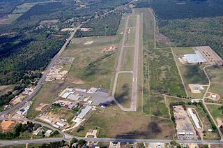
Crisp County–Cordele Airport is a county-owned, public-use airport located two nautical miles (4 km) northeast of the central business district of Cordele, a city in Crisp County, Georgia, United States. It is included in the National Plan of Integrated Airport Systems for 2011–2015, which categorized it as a general aviation facility. The airport does not have scheduled commercial airline service.

Perryville Regional Airport is a city-owned public-use airport located nine nautical miles (17 km) north of the central business district of Perryville, a city in Perry County, Missouri, United States.
Harrell Field is five miles northeast of Camden, in Ouachita County, Arkansas, United States. The FAA's National Plan of Integrated Airport Systems for 2009–2013 categorizes it as a general aviation facility.

Aiken Air Force Station is a closed United States Air Force General Surveillance Radar station. It is located 6.4 miles (10.3 km) north-northeast of Aiken, South Carolina. It was closed in 1975.

Commodore Decatur Airport is a closed airport located 2 miles west-northwest of Bainbridge, Georgia, United States.


