| Drayton | |
|---|---|
 | |
 Drayton Location within Worcestershire | |
| OS grid reference | SO906760 |
| District | |
| Shire county | |
| Region | |
| Country | England |
| Sovereign state | United Kingdom |
| Post town | Stourbridge |
| Postcode district | DY9 |
| Police | West Mercia |
| Fire | Hereford and Worcester |
| Ambulance | West Midlands |
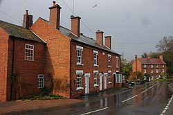
Drayton is a hamlet in Worcestershire, England which remains part of the ecclesiastical parish of Chaddesley Corbett, which from its select vestry formed a civil parish and which also continues. [1]
Belne Brook, which originates in the Clent Hills and is a tributary of the River Stour, flows equally through Belbroughton immediately upstream and through Drayton.