This article includes a list of references, related reading, or external links, but its sources remain unclear because it lacks inline citations .(April 2014) |
| Ebenalp | |
|---|---|
 | |
| Highest point | |
| Elevation | 1,640 m (5,380 ft) |
| Coordinates | 47°17′03″N9°24′39″E / 47.28417°N 9.41083°E |
| Geography | |
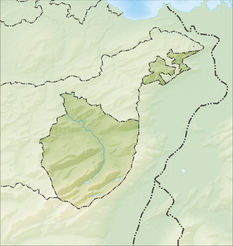
| Location |
|
| Parent range | Appenzell Alps |
The Ebenalp is the northernmost summit of the Alpstein in the Appenzell Alps, Switzerland. The mountain is a popular paragliding [1] [2] and hiking destination.
Contents
It has been accessible by cable car from Wasserauen since 1955. Ebenalp attracts up to 200,000 visitors each year.[ citation needed ]
From the high plateau of the cable car station, visitors have a panoramic view of the rolling hills of Appenzell. Trails start at the station and lead to a network of mountain huts. These hiking routes lead to sites such as Säntis and Seealpsee. The nearby Äscher hut and the Wildkirchli can be reached by hiking through a cave. [3]


