Piriápolis is a city in the Maldonado Department of Uruguay. It is an important summer resort in the country, predating the larger and better known resort town of Punta del Este. Because it is mainly used as a resort, it has a relatively small permanent population for a city of its size.
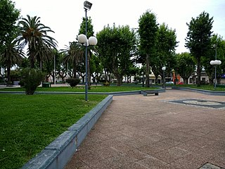
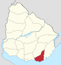
San Carlos is a city in the Maldonado Department of southern Uruguay. "San Carlos" is also the name of the municipality to which the city belongs. The municipality includes the following zones: San Carlos, El Tesoro, La Barra, Edén Rock, El Chorro, Manantiales, Balneario Buenos Aires, Punta Piedras, Santa Mónica, San Vicente, El Edén, Paso de la Cantera, Las Cañas, Carapé, Mataojo, Guardia Vieja, Pago de la Paja, Partido Norte, Partido Oeste, Cañada Bellaca, Corte de la Leña, Punta del Campanera, Puntas de Mataojo, and Laguna José Ignacio.
Ciudad de la Costa is a city in Canelones Department of Uruguay, on the banks of the Río de la Plata between the streams Arroyo Carrasco and Arroyo Pando. It is considered an extension of the metropolitan area of Montevideo which it borders to the west, while to the east it borders Costa de Oro. It was declared a city on 19 October 1994 and given its current name. At the 2011 census, it was the second most populated city of Uruguay between Montevideo and Salto.
El Pinar is a seaside resort of the Canelones Department, Uruguay. In 1994, when Ciudad de la Costa took on the status of a city, El Pinar was incorporated in it.
Cerro Pelado is a fast-growing population centre, or neighborhood, in the Maldonado Department of southeastern Uruguay. It is one of the northern suburbs of Maldonado, along with Villa Delia and La Sonrisa. In the 2011 census, it was the 6th biggest populated centre of the department. According to some reports, there are about 12000 inhabitants in the area of influence of this neighborhood.

La Paloma is a small city in the Rocha Department of southeastern Uruguay.

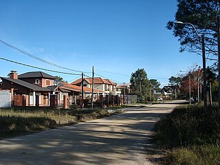
Lomas de Solymar, which also contains the area Médanos de Solymar, is a residential neighbourhood and a resort of Ciudad de la Costa in Canelones, Uruguay.
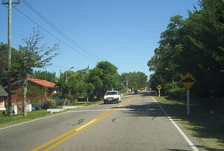
Barra de Carrasco is a residential neighbourhood and resort of Ciudad de la Costa in Canelones, Uruguay. Its name means "mouth of the Carrasco Creek".
Pinares – Las Delicias is a resort (balneario) and southwestern urban extension of the capital of Maldonado Department of Uruguay.
San Rafael – El Placer is a resort in the Maldonado Department of southeastern Uruguay.
Solís is a resort (balneario) in the Maldonado Department of southeastern Uruguay.
Bella Vista is a resort (balneario) in the Maldonado Department of southeastern Uruguay.
Las Flores, or Balneario Las Flores is a resort (balneario) in the Maldonado Department of southeastern Uruguay.
Playa Verde is a resort (balneario) in the Maldonado Department of southeastern Uruguay.
Balneario Buenos Aires is a resort in the Maldonado Department of southeastern Uruguay.
Manantiales is a resort (balneario) in the Maldonado Department of southeastern Uruguay.

La Barra is a resort in the Maldonado Department of southeastern Uruguay.
El Chorro is a resort (balneario) in the Maldonado Department of southeastern Uruguay.

Chihuahua is a resort (balneario) in the Maldonado Department of Uruguay.
Ocean Park is a resort (balneario) in the Maldonado Department of Uruguay.