This article needs additional citations for verification .(October 2024) |
Farmtown is a village[ citation needed ] in the Moray council area of Scotland. [1]
Farmtown lies on the junction of the A95 and B9117 roads east of the town of Keith.
This article needs additional citations for verification .(October 2024) |
Farmtown is a village[ citation needed ] in the Moray council area of Scotland. [1]
Farmtown lies on the junction of the A95 and B9117 roads east of the town of Keith.

Mercer County is a county located in the northwestern portion of the U.S. state of Missouri. As of the 2020 census, the population was 3,538, making it the second-least populous county in Missouri. Its county seat is Princeton. The county was organized February 14, 1845, and named for General John F. Mercer of the Revolutionary War.

Aleppo Township is a township in Greene County, Pennsylvania, United States. The population was 424 at the 2020 census, down from 502 at the 2010 census.

Beaumont Hill is a village in the borough of Darlington and the traditional and ceremonial counties of Durham in England, situated directly to the north of Darlington on the A167 road.

The A95 road is a major road of north-east Scotland connecting the A9 road in the Highlands to the A98 road near the coast.
Careysburg District is one of four districts located in Montserrado County, Liberia. Bensonville is the capital, and the total district population is 28,463.

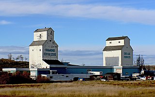
De Winton is a hamlet in southern Alberta, Canada within the Foothills County. It is located just south of the City of Calgary and west of Highway 2A.

Bear Swamp is a forested parkland in Ashfield, Massachusetts. The Trustees of Reservations owns and maintains the property.

Tarqui is a town and municipality in the Huila Department, Colombia. Tarqui was used also used in the Inca civilization.

Iona is an unincorporated community in Johnson Township, Knox County, Indiana.

Branch Village is a village in Providence County, Rhode Island, United States. Located on Rhode Island Route 146A near the intersection of St. Paul Street in North Smithfield, the village takes its name from the Branch River which runs through it.

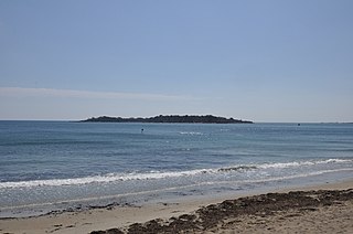
The Misery Islands are an 87-acre (350,000 m2) nature reserve established in 1935 in Salem Sound close to the Salem Harbor in Salem, Massachusetts. It is managed by the Trustees of Reservations. The islands are a part of the city of Salem, although they are much closer to the mainland of the city of Beverly, in whose aquatic territory they lie.
Beach Ridge is a hamlet in the town of Pendleton in Niagara County, New York, United States.
Rainswood is an unincorporated community in Northumberland and Richmond counties, in the U.S. state of Virginia.
Sidi Chaib is a town and commune in Sidi Bel Abbès Province in north-western Algeria.
Tilmouni is a town and commune in Sidi Bel Abbès Province in north-western Algeria.

Boston is a census-designated place located in Elizabeth Township, Allegheny County in the state of Pennsylvania. As of the 2020 census the population was 549.
Cedar Mills is an unincorporated community in Adams County, in the U.S. state of Ohio.

Yelverton is an unincorporated community in Hardin County, in the U.S. state of Ohio.
Barrs Mills is an unincorporated community in Tuscarawas County, in the U.S. state of Ohio.
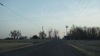
Leibig is an unincorporated community in southwestern Ripley County, in the U.S. state of Missouri. The community is located approximately eight miles southwest of Doniphan and three miles north of the Missouri-Arkansas border. The Fourche River is just west of the village.
57°32′55″N02°49′23″W / 57.54861°N 2.82306°W