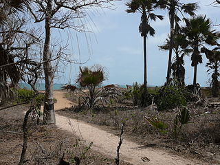
Wildlife of the Gambia is dictated by several habitat zones over its total land area of about 10,000 km2. It is bound in the south by the savanna and on the north by the Sudanian woodlands. The habitats host abundant indigenous plants and animals, in addition to migrant species and newly planted species. They vary widely and consist of the marine system, coastal zone, estuary with mangrove vegetation coupled with Banto Faros, river banks with brackish and fresh water zones, swamps covered with forests and many wetlands.

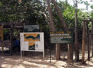
Abuko National Park is a nature reserve in the Gambia lying south of the town of Abuko. It is a popular tourist attraction and was the country's first designated wildlife reserve.

Bijilo Forest Park is a forest park in the Gambia, lying in the coastal zone about 11 km west of Banjul the Kombo Saint Mary District.

Kiang West National Park is one of the largest and most important wildlife reserves in the Gambia. It was declared a national park in 1987 and is managed by the Gambia Department of Parks and Wildlife Management.

River Gambia National Park is a national park in the Gambia.
Bamakuno Forest Park, or Bama Kuno, is a forest park in the Gambia. Established on January 1, 1954, it covers 1092 hectares. It is located 25 km to the south east of Brikama town in The Gambia.
Brikama Forest Park is a forest park in the Gambia. Established on January 1, 1954 it covers 357 hectares.
Dobo Forest Park is a forest park in the Gambia. Established on January 1, 1954 it covers 732 hectares.
Hamdulai Forest Park is a forest park in the Gambia. It covers 112 hectares.
Sambo Tumang Forest Park is a forest park in the Gambia. It covers 45 hectares.
Sao Frest Forest Park is a forest park in the Gambia. It covers 728 hectares.
Se-Ulumbang Forest Park is a forest park in the Gambia. It covers 529 hectares.
Tanu Forest Park is a forest park in the Gambia. It covers 3,000 hectares.
Sutukung Bani Forest Park is a Forest Park in the Gambia. It covers 6 hectares.
Tabaning Sita Forest Park is a Forest Park in the Gambia. It covers 16 hectares.
Ngeyen Forest Park is a forest park in the Gambia. It covers 527.1 hectares.
Ngongonding Forest Park is a forest park in the Gambia. It covers 1,410 hectares.
Pilabi Forest Park is a forest park in the Gambia. It covers 217 hectares.
Sakaru Dalla Forest Park is a forest park in the Gambia. It covers 261 hectares.


