This article needs additional citations for verification .(May 2025) |
Georgepeta | |
|---|---|
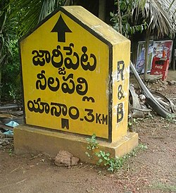 A R&B Sign board indicating Yanam, Nelapalli and Georgepeta Villages near Y-Junction | |
 Interactive map of Georgepeta | |
 Georgepeta Location in Andhra Pradesh, India  Georgepeta Georgepeta (India) | |
| Coordinates: 16°44′37″N82°13′28″E / 16.743551°N 82.224371°E | |
| Country | India |
| State | Andhra Pradesh |
| District | East Godavari |
| Languages | |
| • Official | Telugu |
| Time zone | UTC+5:30 (IST) |
| PIN | 533464 |
| Telephone code | 0884 |
| Vehicle registration | AP 05 |
| Lok Sabha constituency | Amalapuram |
| Vidhan Sabha constituency | Mummidivaram |
Georgepeta is the major panchayath village in Thallarevu mandal in East Godavari district, Andhra Pradesh. [1]