
State Route 300, is a 107-mile-long (172 km) state highway in the southern part of the U.S. state of Georgia. Its southern terminus is at the Florida state line south-southeast of Thomasville, where the roadway continues as US 19/SR 57. This is also the southern terminus of SR 3, with which US 19 and SR 300 travel concurrently through the southern part of the state. Its northern terminus is at Interstate 75 (I-75) in Cordele.
State Route 16 (SR 16) is a 179-mile-long (288 km) state highway that travels west-to-east through portions of Haralson, Carroll, Coweta, Spalding, Butts, Jasper, Putnam, Hancock, and Warren counties in the western and central parts of the U.S. state of Georgia. The highway connects the southeastern portion of Carroll County, northwest of Mount Zion to Warrenton, via Carrollton, Newnan, Griffin, Monticello, Eatonton, and Sparta.
State Route 365 (SR 365) is a 69.5-mile-long (111.8 km) state highway that travels within portions of Gwinnett, Hall, Habersham, and Stephens counties. It begins at exit 113 on Interstate 85 (I-85), at the southeastern edge of Suwanee. This is also the southern terminus of I-985. It continues from that point concurrent with I-985 for the entire length of that freeway. Eventually, U.S. Route 23 (US 23) also joins the concurrency. The highway heads northeast through Gainesville and Toccoa, before it terminates at the South Carolina state line, southwest of Westminster, South Carolina.

State Route 370 (SR 370) is a 12.6-mile-long (20.3 km) north–south state highway located entirely within Early County in the southwestern part of the U.S. state of Georgia. It travels parallel to the Chattahoochee River for its entire length. The southernmost 1.5 miles (2.4 km) is part of the Blakely Highway. The rest of the highway is known as Great Southern Highway. The roadway's construction began in the early 1960s. Later that decade, the Blakely Highway section was included as part of former SR 363. In 1970, the road was designated as SR 370.

State Route 374 (SR 374) is a 7.9-mile-long (12.7 km) rural state highway located entirely in Seminole County in the southwestern part of the U.S. state of Georgia. The roadway was built in the early 1960s and was designated as SR 374 in 1972.

State Route 377 (SR 377) is a 20.0-mile-long (32.2 km) state highway that travels south-to-north through portions of Lee and Sumter counties in the southwestern part of the U.S. state of Georgia. The roadway was built in the late 1950s and was designated as SR 377 in the mid-1970s.

State Route 362 (SR 362) is a 32.5-mile-long (52.3 km) state highway located in the west-central part of the U.S. state of Georgia. It is mainly a rural highway, traveling through parts of Meriwether, Pike, and Spalding counties, connecting the Greenville area with Griffin, via Williamson.

State Route 332 (SR 332) is a 23.2-mile (37.3 km) state highway in the northeastern part of the U.S. state of Georgia. It travels from SR 53 in Hoschton in Jackson County to SR 13 in Oakwood in Hall County. The route physically travels in a backwards "C" shape.

State Route 2 (SR 2) is a 165-mile-long (266 km) east-west State highway in the far North-northern part of Georgia. The highway serves southern suburbs of Chattanooga, Tennessee, as well as much of the mountains in the northern part of the state. It traverses the counties of Walker, Catoosa, Whitfield, Murray, Gilmer, Fannin, Union, Towns, and Rabun. It connects Flintstone, in the northwestern part of the state, with the South Carolina state line southeast of Clayton in the northern part and the northeastern part of the state. It also travels through Fort Oglethorpe, Ringgold, Ellijay, Blue Ridge, Blairsville, and Hiawassee. Parts of the highway in the Whitfield and Murray county area are designated as the Cohutta–Chattahoochee Scenic Byway.
State Route 17 (SR 17) is a 300-mile-long (480 km) state highway that travels northwest–southeast in the east-central and northeastern parts of the U.S. state of Georgia. The highway connects the Savannah metro area to the North Carolina state line, northwest of Hiawassee and runs roughly parallel to the South Carolina state line.

State Route 18 (SR 18) is a 147-mile-long (237 km) state highway that travels west-to-east through portions of Troup, Harris, Meriwether, Pike, Lamar, Monroe, Jones, Wilkinson, and Twiggs counties in the western and central parts of the U.S. state of Georgia. The highway connects US 29/SR 14 in West Point, just east of the Alabama state line, with US 80/SR 19/SR 96 in Jeffersonville, via Pine Mountain, Greenville, Zebulon, Barnesville, Forsyth, Gray, and Gordon.
State Route 22 (SR 22) is a 221.1-mile-long (355.8 km) state highway that travels southwest-to-northeast in an eastern arc through portions of Muscogee, Talbot, Taylor, Upson, Crawford, Bibb, Jones, Baldwin, Hancock, Taliaferro, Oglethorpe, and Madison counties in the western and west-central parts of the U.S. state of Georgia. The highway connects the Alabama state line in Columbus, across the state line from Phenix City, Alabama, to Comer, via Macon and Milledgeville.

State Route 36 (SR 36) is a 95.2-mile-long (153.2 km) state highway that travels southwest-to-northeast through portions of Harris, Talbot, Upson, Lamar, Butts, and Newton counties in the central part of the U.S. state of Georgia. The highways connects the Waverly Hall area with Covington, via Thomaston, Barnesville, and Jackson.
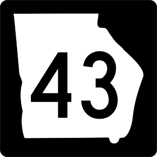
State Route 43 (SR 43) is a 25.7-mile-long (41.4 km) state highway that travels southwest-to-northeast through portions of McDuffie and Lincoln counties in the east-central part of the U.S. state of Georgia. The highway connects the northern part of the Thomson area to the South Carolina state line, via Lincolnton.

State Route 51 (SR 51) is a 63.6-mile-long (102.4 km) state highway that travels west-to-east through portions of Hall, Banks, Franklin, and Hart counties in the northeastern part of the U.S. state of Georgia. The highway connects Lula with Lake Hartwell, via Homer, Carnesville, and Hartwell.

State Route 251 (SR 251) is a 13.5-mile-long (21.7 km) south–north state highway located in the east-central part of the U.S. state of Georgia. It travels entirely within McIntosh County.
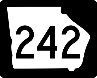
State Route 242 (SR 242) is a 25.0-mile-long (40.2 km) east–west state highway located in the central part of the U.S. state of Georgia. It travels through portions of Washington and Jefferson counties.
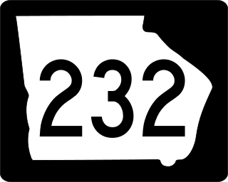
State Route 232 (SR 232) is a 14.3-mile-long (23.0 km) east–west state highway located in the east-central part of the U.S. state of Georgia. It travels through west-central Columbia County and northeastern Richmond County. At its western end, it is a fairly rural highway, but its eastern end is an urban corridor of the Augusta metropolitan area. It connects Appling with Evans, Martinez, and Augusta.
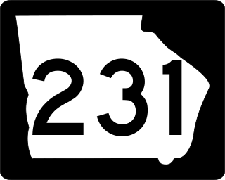
State Route 231 (SR 231) is a 20.6-mile-long (33.2 km) north-south state highway in the central part of the U.S. state of Georgia. It travels entirely within Washington County. It serves as a de facto bypass or alternate route for travelers who desired to bypass Sandersville.

State Route 98 (SR 98) is a 36.6-mile-long (58.9 km) state highway that travels southeast-to-northwest through portions of Madison, Jackson, and Banks counties in the northeastern part of the U.S. state of Georgia. The highway connects Comer and Homer, via Danielsville, Commerce, and Maysville.

