Florida's Turnpike, designated as unsigned State Road 91, is a controlled-access toll road in the U.S. state of Florida, maintained by Florida's Turnpike Enterprise (FTE). Spanning approximately 309 miles (497 km) along a northwest–southeast axis, the turnpike is in two sections. The SR 91 mainline runs roughly 265 miles (426 km), from its southern terminus at an interchange with Interstate 95 (I-95) in Miami Gardens to an interchange with I-75 in Wildwood at its northern terminus. The Homestead Extension of Florida's Turnpike continues from the southern end of the mainline for another 48 miles (77 km) to US Highway 1 in Florida City. The slogan for the road is "The Less Stressway". The mainline opened in stages between 1957 and 1964, while the extension was completed in 1974. The turnpike runs through Miami, Fort Lauderdale, and West Palm Beach, where it parallels I-95, and through Orlando, where it crosses I-4.

State Road 860 (SR 860), locally known as Miami Gardens Drive or North 183rd Street, is a 13-mile-long (21 km) east–west street serving bedroom communities in northern Miami-Dade County, Florida. Its western terminus is a diamond interchange with Interstate 75 in the Palm Springs North area near Miami Lakes, passing through Carol City, Miami Gardens, and North Miami Beach before ending at an intersection with Biscayne Boulevard in Aventura.
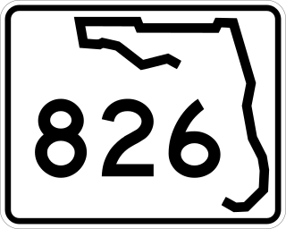
State Road 826 is a bypass route around the greater Miami area, traveling approximately 30 miles (48 km) in a northeasterly arc from U.S. Route 1 in Pinecrest to its terminus at State Road A1A in Sunny Isles Beach. Between its southern terminus and the Golden Glades Interchange, State Road 826 is known as the Palmetto Expressway, a heavily traveled freeway with portions of the road carrying in excess of 250,000 vehicles a day. Unlike many of the other non-interstate freeways in Miami-Dade County, the Palmetto Expressway is untolled. East of the interchange, State Road 826 is a surface road connecting North Miami and North Miami Beach to Sunny Isles Beach over the Intracoastal Waterway.
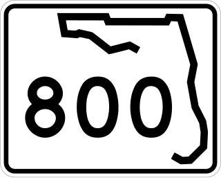
Spanish River Boulevard is a short east–west highway in Boca Raton, Palm Beach County, Florida. The eastern 0.5 miles (0.80 km) is signed as State Road 800 (SR 800), though the western segment was formerly SR 800 as well. The western terminus of the boulevard is at Military Trail, but the state route does not begin until Federal Highway. Both the state route and the road itself terminate at Ocean Boulevard near the Atlantic Ocean shoreline at the northeastern corner of Spanish River Park, near Highland Beach.

State Road 934 runs for 13.1 miles (21.1 km) from State Road 826 in Medley to SR A1A in Miami Beach. It is a major east–west highway in the Miami metropolitan area.

Florida State Road 817 (SR 817) is a 25.691-mile-long (41.346 km) state highway in the U.S. state of Florida, locally known as Northwest 27th Avenue in Miami-Dade County and University Drive in Broward County. Its southern terminus is an intersection in Opa-locka with SR 9, which continues south along Northwest 27th Avenue to Dixie Highway in the Coconut Grove neighborhood of Miami. Its northern terminus is at State Road 834 in Coral Springs, though the right of way continues north to Loxahatchee Road at the Palm Beach County line.

State Road 845 (SR 845), locally known as Powerline Road, is a 16.314-mile-long (26.255 km) north–south divided highway serving northern Broward County and southern Palm Beach County, Florida, United States. The route extends from an intersection with Sunrise Boulevard (SR 838) near downtown Ft. Lauderdale, north to an intersection with Glades Road (SR 808) near Boca Raton.

Military Trail is a 46.2-mile (74.35 km) long six-lane north–south arterial road in Broward and Palm Beach counties in South Florida. A portion of the road is designated State Road 809 (SR 809), but most of the road within Palm Beach County is locally maintained and signed as County Road 809 (CR 809), while the Broward County section exists without either designation.
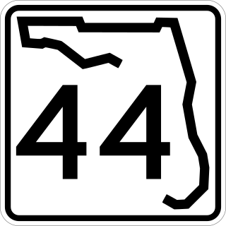
State Road 44 is an east–west state highway in the U.S. state of Florida. It runs from Crystal River on the Gulf of Mexico east to New Smyrna Beach on the Atlantic Ocean, passing through Inverness, Wildwood, Leesburg and DeLand.

Coral Way, co-signed State Road 972 between Douglas Road and US 1 in Miami, is a 16.4-mile-long (26.4 km) primary east-west street that extends from Southwest 157th Avenue in western Miami-Dade County to Brickell Avenue in the Brickell neighborhood of Downtown Miami, Florida.
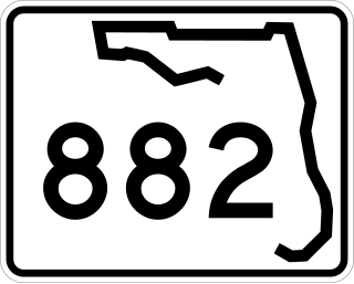
State Road 882 (SR 882), locally known as Forest Hill Boulevard, is a 9.233-mile-long (14.859 km) east–west highway serving central Palm Beach County, Florida. Its western terminus is at an intersection of US 441-SR 7 in Wellington, Florida; and its eastern terminus is at an intersection with South Dixie Highway (U.S.1/SR 805 in West Palm Beach, Florida. SR 882 also serves as a primary commuter road for Greenacres, Palm Springs, Lake Clarke Shores, and West Palm Beach.

Interstate 95 (I-95) is the main Interstate Highway of Florida's Atlantic Coast. It begins at a partial interchange with US Highway 1 (US 1) just south of downtown Miami and heads north through Jacksonville, and to the Georgia state line at the St. Marys River near Becker. The route also passes through the cities of Fort Lauderdale, West Palm Beach, Port St. Lucie, Titusville, and Daytona Beach.
Atlantic Boulevard, consisting mostly of State Road 814, is a major commercial and commuter highway in northern Broward County, Florida. The 13-mile-long (21 km) divided highway extends from the Sawgrass Expressway in Coral Springs to State Road A1A in Pompano Beach. It serves as the latitudinal baseline for the street grid for the city of Pompano Beach. The portion of the boulevard west of U.S. Route 441 is locally maintained as County Road 814.

State Road 806 (SR 806), locally known as Atlantic Avenue, is the primary east–west highway of Delray Beach in Palm Beach County, Florida. Not to be confused with parallel Atlantic Boulevard (SR 814) 15 miles (24.14 km) to the south, Atlantic Avenue extends from U.S. Route 441 (US 441) and SR 7 eastward to SR A1A just north of Highland Beach. East of Military Trail, SR 806 is in the city of Delray Beach; to the west of Military Trail, the road stretches through unincorporated Palm Beach County in the CDPs of High Point, Kings Point, and the Villages of Oriole.

Yamato Road is a 9.38-mile (15.10 km) east–west arterial boulevard in incorporated and unincorporated Boca Raton, Florida. A portion of the road in incorporated Boca Raton is designated State Road 794, while most of the road to the west is designated, but not signed, as County Road 794. Yamato is located on North 51st Street in the Boca Raton street numbering grid.
State Road 804 (SR 804) is a 9.843-mile-long (15.841 km) east–west highway serving as a major commercial and commuter road through Boynton Beach in southern Palm Beach County, Florida. It is known locally and signed as Boynton Beach Boulevard for nearly all of its route, with the exception of when the road becomes concurrent with U.S. Route 1 (US 1 southward for two blocks, then continues along Ocean Avenue in downtown Boynton Beach to its eastern terminus at SR A1A. The western terminus of SR 804 is at the junction of US 441 / SR 7, close to the eastern boundary of the Loxahatchee National Wildlife Refuge and the historic northern boundary of The Everglades. Boynton Beach Boulevard adheres to Northwest 2nd Avenue in the Boynton Beach street numbering grid.

U.S. Highway 1 (US 1) in Florida runs 545 miles (877 km) along the state's east coast from Key West to its crossing of the St. Marys River into Georgia north of Boulogne and south of Folkston. US 1 was designated through Florida when the U.S. Numbered Highway System was established in 1926. With the exception of Monroe County, the highway runs through the easternmost tier of counties in the state, connecting numerous towns and cities along its route, including nine county seats. The road is maintained by the Florida Department of Transportation (FDOT).

U.S. Route 98 is a major east-west thoroughfare through the U.S. state of Florida. Spanning 670.959 miles (1,079.804 km), it connects Pensacola and the Alabama/Florida state line to the west with Palm Beach and the Atlantic coast in the east. It is the longest US road in Florida, as well as the longest US road in any state east of the Mississippi River.

U.S. Route 441 (US 441) in Florida is a north–south United States Highway. It runs 433 miles (697 km) from Miami in South Florida northwest to the Georgia state line, with the overall route continuing to Tennessee in the Rocky Top area.


