
Cape Borda Lighthouse is a lighthouse in the Australian state of South Australia located at Cape Borda on Kangaroo Island.

The Cape Bruny Lighthouse is an inactive lighthouse located at the southern tip of Bruny Island, Tasmania, Australia.

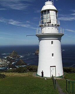
The Tasman Island Lighthouse is on Tasman Island off the coast of southeastern Tasmania, Australia. It was one of the most isolated lighthouses in Australia. It was first lit on 2 April 1906, automated in 1976 and demanned in 1977. Solar conversion occurred in 1991. Various light sources have been fitted to the lighthouse since low voltage solar was installed in 1991. The current light source is a Vega VRB25. It has a character of Flashing 7.5x - Flash 0.1s - Eclipse 7.4s and produces 63,000 candelas with a geographical range of 39 nautical miles and a nominal range of 18 nautical miles.

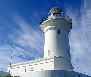
Burrewarra Point Light is an active lighthouse located at Burrewarra Point, New South Wales, Australia, which is north of Broulee and 25 kilometres (16 mi) to the south of Batemans Bay.
Cape Baily Light is an active lighthouse located at Cape Baily, a headland at the south side of the entrance to Botany Bay, New South Wales, Australia. The light serves to help north-bound shipping hug the coast to avoid the strong southerly currents further out to sea.

North Solitary Island Light is an active lighthouse on North Solitary Island, a large island off the coast of New South Wales, Australia. The light is located on the summit of the island which is on the northern section of the island.
South Solitary Island Light is an active lighthouse on South Solitary Island, an island within the Solitary Islands Marine Park, about 15 kilometres (9.3 mi) northeast of Coffs Harbour, New South Wales, Australia. The lighthouse is located at the summit of the island. It is considered the most isolated lighthouse on the New South Wales coast. It was first in New South Wales to use kerosene over colza oil, and the last to do so before converting to electric power.
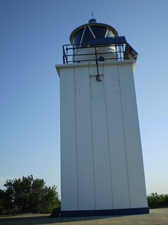
Cape Fourcroy Light is an active lighthouse located on Cape Fourcroy, on the southwestern tip of Bathurst Island, Northern Territory, Australia. The lighthouse marks the beginning of the route from the Timor Sea to Darwin.

Archer Point Light is an active lighthouse on Archer Point, a conical, 60-metre-high (200 ft) grassy headland about 14 kilometres (8.7 mi) southeast of Cooktown, Queensland, Australia. Originally an 1883 timber frame lighthouse covered with galvanised iron, it was replaced in 1975 with a modern square concrete equipment room topped with a lantern.
The New Burnett Heads Light, also known as South Head Light, is an active lighthouse standing on the south side of the Burnett River entrance, in Burnett Heads, Queensland, Australia. In 1971 it replaced the Old Burnett Heads Light, which was relocated inland.

Cape Bowling Green Light is an active lighthouse located on Cape Bowling Green, a lengthy headland ending with a long low sandspit, about 30 kilometres (19 mi) from Ayr, Queensland, Australia. The lighthouse is at the end of the headland, near the base of the sandspit. The first lighthouse at the location, established in 1874, was moved multiple times. It was prefabricated in Brisbane, shipped to the location, moved twice due to coastal erosion and finally transferred for display at the Australian National Maritime Museum at Darling Harbour in Sydney.

Pine Islet Light, also known as Percy Isles Light, is an active lighthouse located at Pine Islet, a small islet belonging to the Percy Isles group of the Northumberland Islands, about 130 kilometres (81 mi) southeast of Mackay, Queensland, Australia. The original lighthouse, established 1885, was active for a hundred years, until it was deactivated in 1985, by then the last kerosene powered lighthouse in Australia. It was relocated to the Mackay Marina in 1985 and restored to full working condition, making it the last fully functional kerosene operated lighthouse in the world. At the original location now stands a modern fiberglass tower.

Creal Reef Light is an active lighthouse located at Creal Reef, a planar reef about 150 kilometres (93 mi) east of Mackay, Queensland, Australia. It guides ships outgoing from Mackay into Hydrographers Passage, a deep water channel east of Mackay. The structure is a stainless steel tower, which also serves as a daymark and carries a racon.
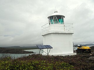
Eborac Island Light is an active lighthouse on Eborac Island, a small rocky island in the Adolphus Channel just off Cape York, the northern tip of Cape York Peninsula, Far North Queensland, Australia. It guides ships into the coastal channel inside the Great Barrier Reef. A concrete structure was built in 1921 and converted to solar power in 1990. It was replaced with a fiberglass structure in 2012.
Wharton Reef Light is an inactive lighthouse which used to be located on Wharton Reef in Princess Charlotte Bay off the Cape York Peninsula, Queensland, Australia. When it was deactivated in 1990 it was donated to the Townsville Maritime Museum and it is now on display near the museum. It is the only survivor of a series of twenty automatic lighthouses installed in Queensland during the "Golden Age of Australian Lighthouses" from 1913 to the early 1920s.

Wyborn Reef Light is an active lighthouse located at Wyborn Reef, formerly known as Y Reef, about 16 kilometres (9.9 mi) southeast of Albany Island, east of the tip of Cape York Peninsula, Queensland, Australia. It marks the entrance to the Albany Passage. The lighthouse was constructed in 1938 and upgraded in 1991 and 1995. The structure is a stainless steel tower with a fiberglass hut within the framework, carrying a lantern.
Maatsuyker Island Lighthouse is a lighthouse on Maatsuyker Island, Tasmania, Australia. It was the last Australian lighthouse still being officially operated by lightkeepers. A second, smaller, and automated lighthouse was installed in 1996 but it is unclear whether volunteers are going to continue to work the lights on Maatsuyker Island.
The Cape Sorell Lighthouse is a heritage-listed lighthouse that is located on Cape Sorell in the West Coast region of Tasmania, Australia. The lighthouse is situated approximately 12 kilometres (7.5 mi) southwest of Strahan.

Currie Lighthouse was built following agitation by Archibald Currie and others for a lighthouse at Currie Harbour, Currie, King Island, Australia in 1879. Planned and fabricated by Chance Brothers in Smethwick, England, it was devised as a 21-metre (69 ft)-tall square pyramidal truss iron tower with an iron cylinder centred inside, and then shipped to Tasmania to be erected. After an inactive period from 1989 to 1995, the light is now active again. The light characteristic is "Fl. 6 s", i.e. one flash every six seconds. The lightsource's focal plane is situated 46 metres (151 ft) above sea level. The adjacent keeper's house was turned into a museum in 1980.

