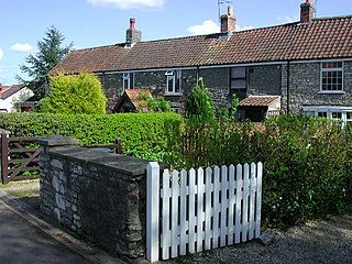
Oldland Common is a village in the far south region of South Gloucestershire, England, on the outskirts of Bristol. It is in the civil parish of Bitton, approximately 8 miles between the centres of cities Bristol and Bath.

Ballymagorry or Ballymagory is a small village and townland in County Tyrone, Northern Ireland. It is west of Artigarvan and 5 kilometres (3.1 mi) north of Strabane. In the 2001 Census it had a population of 565. It lies within the Strabane District Council area and lies on the River Glenmornan.
Balasore District, also known as Baleswar District, is an administrative district of Odisha state, in eastern India. Balasore is one of the coastal districts of Odisha and lies on the northernmost part of the state.

Laurencetown or Lawrencetown is a small village in County Down, Northern Ireland. It sits on the River Bann, along the main road between the towns of Banbridge and Portadown. It is within the parish of Tullylish and covers the townlands of Knocknagore and Drumnascamph. In the 2011 census it had a population of 956 people. In Irish, it is known as Baile Labhráis.
Arookutty is a census town in Alappuzha district in the state of Kerala, India.
Gangavati is a city, municipality and taluk in the Koppal district of the Indian state of Karnataka. It is one of the main commercial hubs in the Kalyana-Karnataka region. It is also the largest city, in terms of area and population, in the Koppal district.
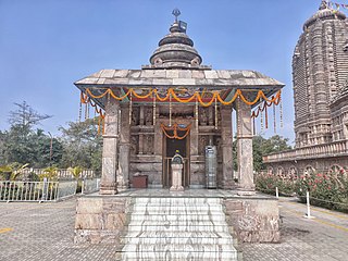
Remuna is a town and a notified area committee in Baleswar district in the Indian state of Odisha. It is famous for the Khirachora Gopinatha Temple.
Kalyanpur, which means "City of Progress", may refer to:
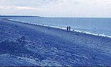
Chandipur, is a resort town in Balasore District, Odisha, India. The town is located on the shore of Bay of Bengal and is approximately 16 kilometers from the Balasore Railway Station. Its beach is unique in a way that the water recedes up to 5 kilometers during the ebb tide. Due to its unique circumstances, the beach supports biodiversity. Horseshoe crab is also found here on the beach towards Mirzapur, the nearby fishing market and community at the confluence of the Budhabalanga River (Balaramgadi). It is a suitable picnic spot. One of Odisha Tourism's Panthanivas is situated here.

Bhagabanpur I is a community development block that forms an administrative division in Egra subdivision of Purba Medinipur district in the Indian state of West Bengal.

Little Bealings is a village in Suffolk, England. It has a population of approximately 470 people living in around 185 households. The population had fallen to 420 at the 2011 Census. Its nearest towns are Ipswich and Woodbridge. Nearby villages include Great Bealings, Playford, Culpho, Martlesham and Grundisburgh.

Vasai-Virar is an agglomeration of four previously governed municipal councils: Vasai (Bassein), Virar, Nallasopara and Navghar-Manikpur, as well as a few towns to the east and west of the urban area. It lies in the Konkan division of Maharashtra, India.
Kabbur is a town in the southern state of Karnataka, India. It is located in the Chikodi taluk of Belgaum district in Karnataka.
Shegunashi is a village in the southern state of Karnataka, India. It is located in the Athani taluk of Belagavi district in Karnataka.

Backergunge, Backergunje, Bakarganj, or Bakerganj was a former district of British India. It was the southernmost district of the Dacca Division. The district was located in the swampy lowlands of the vast delta of the Ganges and the Brahmaputra rivers.
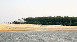
Talasari Beach is a beach in the Baleswar district of Odisha, India. It lies on the north-eastern coast of India.

Rampurwa is a village situated in Mehsi, East Champaran District in the Indian state of Bihar. The village is commonly known as Rampurwa among the localities. It lies in the Mirjapur Panchayat region. It is situated at the bank of river Burhi Gandak River on whose bank the village has flourished. It is well connected by road and railways. The nearest city Kaswa Mehsi in Mehsi, which is 2 km from the village. The nearest railway station is Mehsi railway station, which is around 5 km from the village.
Chaumukha is a coastal village in Baliapal block of Baleswar district of the Indian state of Odisha.
Dagara is a village situated in the Baleswar district of Odisha, in eastern India. The village, with a beach on the Bay of Bengal, is a well-known spot for local tourists. In 2006, the Government of Odisha signed a memorandum of understanding (MOU) with Chennai-based Creative Port Development Pvt Ltd. for the development of a deep-water, all-weather project, Kirtania port, at the mouth of the Subarnarekha River.

