Great Bend Township | |
|---|---|
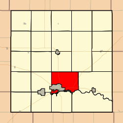 Location in Barton County | |
| Coordinates: 38°23′27″N098°45′22″W / 38.39083°N 98.75611°W | |
| Country | United States |
| State | Kansas |
| County | Barton |
| Area | |
• Total | 40.46 sq mi (104.79 km2) |
| • Land | 40.26 sq mi (104.26 km2) |
| • Water | 0.20 sq mi (0.53 km2) 0.51% |
| Elevation | 1,847 ft (563 m) |
| Population (2010) | |
• Total | 1,752 |
| • Density | 43.52/sq mi (16.80/km2) |
| ZIP code | 67530 [1] |
| Area code | 620 |
| GNIS ID | 0475651 |
Great Bend Township is a township in Barton County, Kansas, United States. As of the 2010 census, its population was 1,752. [2]
