Haima Airport | |||||||||||
|---|---|---|---|---|---|---|---|---|---|---|---|
| Summary | |||||||||||
| Airport type | Public | ||||||||||
| Serves | Haima | ||||||||||
| Elevation AMSL | 400 ft / 122 m | ||||||||||
| Coordinates | 19°58′30″N56°17′00″E / 19.97500°N 56.28333°E | ||||||||||
| Map | |||||||||||
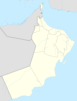 OOHA Location of the airport in Oman  OOHA OOHA (Middle East)  OOHA OOHA (West and Central Asia)  OOHA OOHA (Asia) | |||||||||||
 | |||||||||||
| Runways | |||||||||||
| |||||||||||
Haima( ICAO : OOHA) is an airport serving the town of Haima in Oman.