Yibal Airport | |||||||||||
|---|---|---|---|---|---|---|---|---|---|---|---|
| Summary | |||||||||||
| Airport type | Public | ||||||||||
| Serves | Yibal | ||||||||||
| Elevation AMSL | 355 ft / 108 m | ||||||||||
| Coordinates | 22°12′00″N56°02′00″E / 22.20000°N 56.03333°E | ||||||||||
| Map | |||||||||||
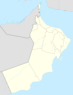 OOYB Location of the airport in Oman  OOYB OOYB (Middle East)  OOYB OOYB (West and Central Asia)  OOYB OOYB (Asia) | |||||||||||
| Runways | |||||||||||
| |||||||||||
Yibal Airport( ICAO : OOYB) is an airport serving the town of Yibal in the Ad Dhahirah Governorate of Oman.
Contents
Runway ends are poorly defined, [1] and actual usable length may be longer than listed. The Fahud VOR-DME (Ident: FHD) and non-directional beacon (Ident: FHN) are located 26.6 nautical miles (49 km) east-northeast of the airport. [3] [4]