RAFO Masirah

Last updated
RAFO Masirah
Summary
Airport typeMilitary
OperatorGen. Hussain Al Zadjali
Location Masirah, Oman
Elevation  AMSL 68 ft / 21 m
Coordinates 20°40′31″N058°53′25″E / 20.67528°N 58.89028°E / 20.67528; 58.89028
Map
Oman adm location map.svg
Airplane silhouette.svg
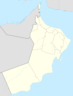
Masirah
Location of airport in Oman
Runways
Direction LengthSurface
mft
07/252,5748,446 Asphalt
17/353,05010,005 Asphalt
Sources: [1] [2]

RAFO Masirah( IATA : MSH, ICAO : OOMA) is a military airport located on the island of Masirah in Oman. [1]

Contents

Facilities

The airport resides at an elevation of 64 feet (20 m) above mean sea level. It has two asphalt paved runways: 07/25 measuring 2,574 by 45 metres (8,445 ft × 148 ft) and 17/35 measuring 3,050 by 45 metres (10,007 ft × 148 ft). [1]

In the 1950s, it also included a 2 ft 0in Gauge railway. [3]

Airlines and destinations

AirlinesDestinations
SalamAir Duqm, Muscat [4]

Accidents and Incidents

On April 1, 2018, a BAE Hawk Mk 166 crashed on landing, killing the student pilot and one person in the ground, only the flight instructor survived with serious injuries. [5]

References

  1. 1 2 3 Airport information for OOMA from DAFIF (effective October 2006)
  2. Airport information for MSH at Great Circle Mapper. Source: DAFIF (effective October 2006).
  3. Hateley, R K (1992). Locomotives of the Ministry of Defence. 47, Waverley Gardens, London, NW10 7EE: Industrial Railway Society. p. 121. ISBN   9780901096715.{{cite book}}: CS1 maint: location (link)
  4. "SalamAir Adds Masirah / Namangan Service From Nov 2022". Aeroroutes. Retrieved 26 October 2022.
  5. Ranter, Harro. "Accident BAe Hawk 166 , Sunday 1 April 2018". aviation-safety.net. Retrieved 2025-12-22.