Ibra Airport | |||||||||||
|---|---|---|---|---|---|---|---|---|---|---|---|
| Summary | |||||||||||
| Airport type | Public | ||||||||||
| Serves | Ibra, Oman | ||||||||||
| Elevation AMSL | 1,500 ft / 457 m | ||||||||||
| Coordinates | 22°44′00″N58°30′50″E / 22.73333°N 58.51389°E | ||||||||||
| Map | |||||||||||
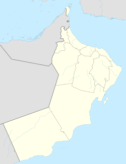 OOIA Location of the airport in Oman  OOIA OOIA (Middle East)  OOIA OOIA (West and Central Asia)  OOIA OOIA (Asia) | |||||||||||
| Runways | |||||||||||
| |||||||||||
Ibra( ICAO : OOIA) is an airport serving Ibra, a town in the Ash Sharqiyah North Governorate of Oman.
Contents
The Izki VOR-DME (Ident: IZK) is located 42.6 nautical miles (79 km) west-northwest of the airport. The Seeb VOR-DME (Ident: MCT) is located 53.4 nautical miles (99 km) north-northwest of the airport. [3] [4]