This article needs additional citations for verification .(January 2021) |
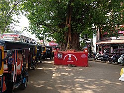
Hampankatta | |
|---|---|
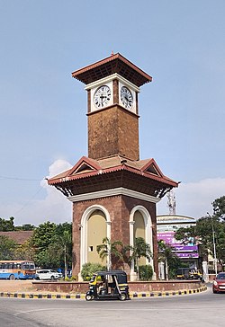 Clock Tower circle, Hampankatta, Mangalore | |
 Hampankatta Location in Karnataka, India | |
| Coordinates: 12°50′23″N74°47′24″E / 12.83982°N 74.78994°E | |
| Country | |
| State | Karnataka |
| District | Dakshina Kannada |
| City | Mangalore |
| Languages | |
| • Official | Tulu, Kannada, English |
| Time zone | UTC+5:30 (IST) |
Hampankatta (also known as Happananakatte/Hampankatte/Hampananakatte/Hampanakatte and pronounced as 'Hampanakatte' in Tulu and Kannada) is the centre of Mangalore City, Karnataka. Most of the public utilities are located here.[ citation needed ] Hampanakkatte was named by the British in 1920. Its original name was 'Appanakatte'. The town was named after a person called Appanna Poojary who constructed a 'well' in the region around 1900. [1]