Historical airline service
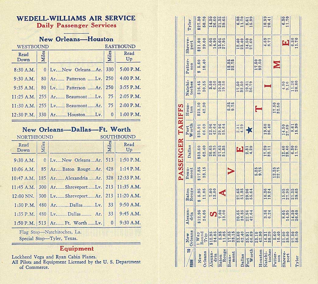
Several air carriers operating scheduled passenger flights served the airport over the years. In 1931, Wedell-Williams Air Service was operating a daily round trip flight on a New Orleans - Patterson - Beaumont - Houston routing flown with Lockheed Vega and Ryan Aeronautical "Cabin" aircraft. [2] Trans-Texas Airways (TTa) was serving the airport in 1961 with direct, no change of plane service operated on a twice daily basis with Douglas DC-3 aircraft to Dallas Love Field, Fort Worth and Shreveport via stops in Lafayette and Lake Charles as well as two daily nonstop DC-3 flights to New Orleans. [3] [4] By 1963, Trans-Texas was operating daily round trip service flown with a Douglas DC-3 on a routing of New Orleans - Patterson - Lafayette - Lake Charles - Shreveport - Marshall, TX - Dallas Love Field as well as an additional daily nonstop Patterson - New Orleans DC-3 flight. [5] [6] Trans-Texas was no longer serving the airport by 1966 and would subsequently change its name to Texas International Airlines, become an all-jet air carrier operating DC-9 twin jets and then eventually be merged into Continental Airlines. [7]
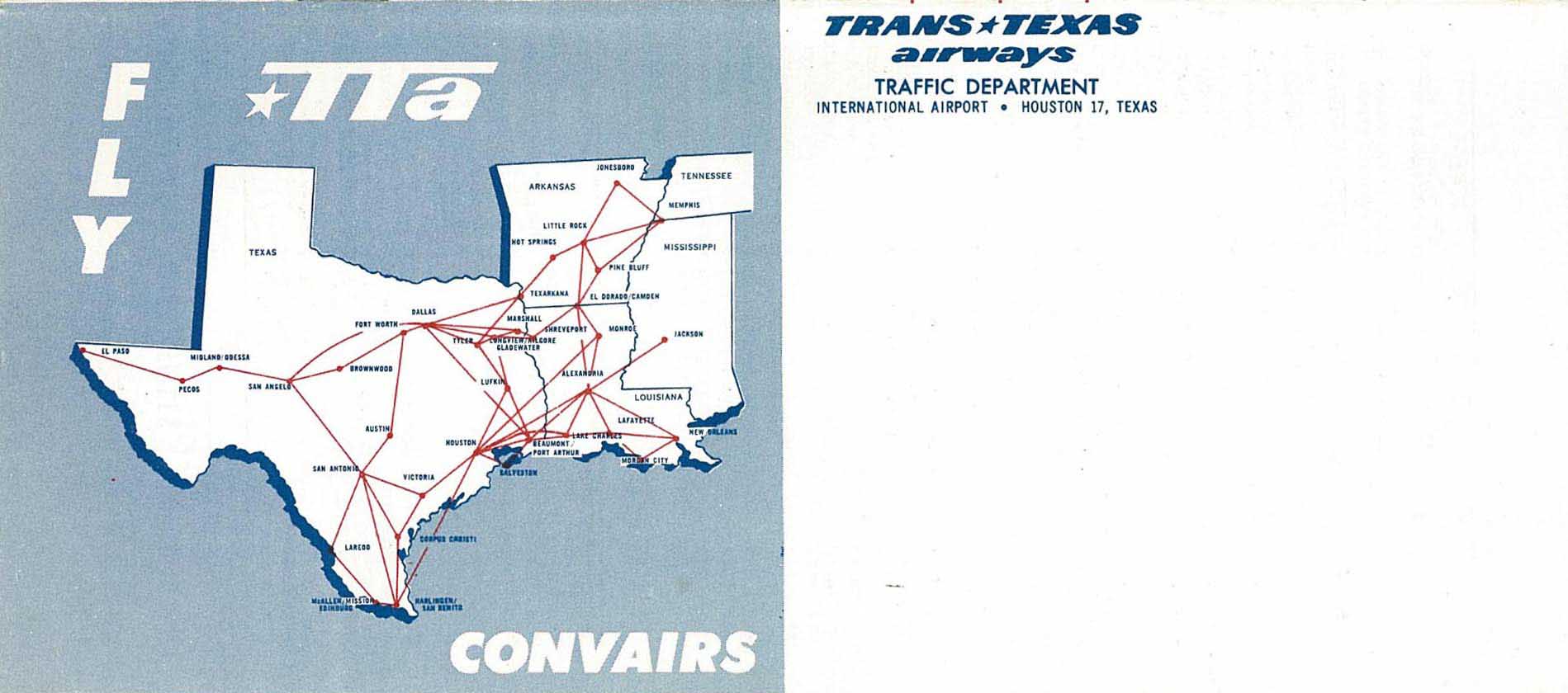
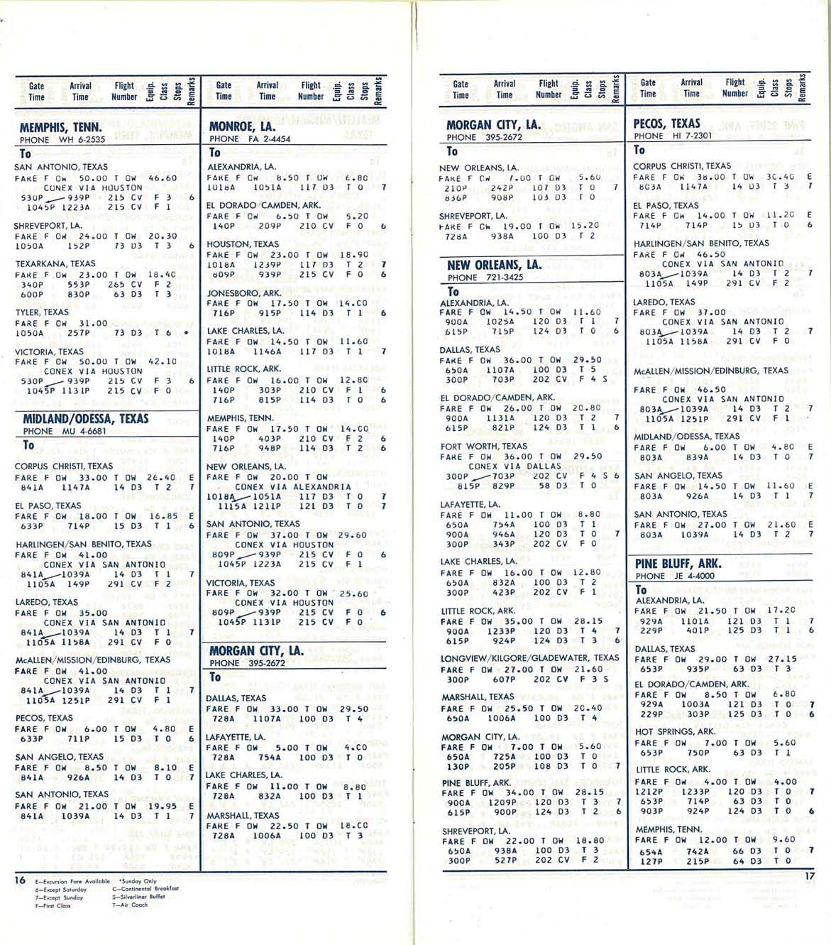
During the mid 1970s, Bee Line, a small commuter air carrier based in the Houston area, was operating nonstop flights between Patterson and Houston Hobby Airport (HOU) on the weekdays with small prop aircraft. [8] During 1976-1977, Coastal Airways was operating nonstop service to both Baton Rouge (BTR) and New Orleans (MSY) with twin prop commuter aircraft. [9] [10] [11] By 1978, Royale Airlines, a regional air carrier based in Louisiana, was operating direct one stop service to New Orleans (MSY) via Houma, LA with Beechcraft 99 commuter turboprops. [12] In early 1979, Universal Airways, a commuter air carrier, was serving the airport with round trip New Orleans - Houma - Patterson/Morgan City - Houston Hobby Airport flights operated with Beechcraft Queen Air twin prop commuter aircraft. [13] By late 1979, two commuter air carriers were serving the airport: Commutair operating Beechcraft aircraft with nonstop service from Houston Hobby Airport and direct one stop service from Houston Intercontinental Airport, and Hammonds Flying Service operating Piper aircraft with nonstop service from Lafayette and Houma as well as direct one stop service from Houston Hobby Airport via Lafayette. [14] By the early 1980s, Hammonds Commuter Air Service was operating four round trip flights every weekday on a Houma - Patterson - Lafayette - Houston Hobby Airport routing flown with Piper aircraft as well as with de Havilland Canada DHC-6 Twin Otter commuter turboprop aircraft. [15] [16] [17]
The airport currently has no scheduled passenger service but is served by charter flights.
This page is based on this
Wikipedia article Text is available under the
CC BY-SA 4.0 license; additional terms may apply.
Images, videos and audio are available under their respective licenses.


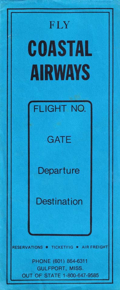