Herzog Township | |
|---|---|
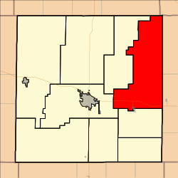 Location in Ellis County | |
| Coordinates: 39°01′40″N099°06′31″W / 39.02778°N 99.10861°W | |
| Country | United States |
| State | Kansas |
| County | Ellis |
| Area | |
• Total | 125.85 sq mi (325.95 km2) |
| • Land | 125.62 sq mi (325.35 km2) |
| • Water | 0.23 sq mi (0.6 km2) 0.18% |
| Elevation | 1,860 ft (567 m) |
| Population (2000) | |
• Total | 894 |
| • Density | 7.1/sq mi (2.7/km2) |
| GNIS feature ID | 0472452 |
Herzog Township is a township in Ellis County, Kansas, United States. As of the 2010 census, its population was 894.
