
Fernando Affonso Collor de Mello is a Brazilian politician who served as the 32nd president of Brazil from 1990 to 1992, when he resigned in a failed attempt to stop his impeachment trial by the Brazilian Senate. Collor was the first President democratically elected after the end of the Brazilian military government. He became the youngest president in Brazilian history, taking office at the age of 40. After he resigned from the presidency, the impeachment trial on charges of corruption continued. Collor was found guilty by the Senate and disqualified from holding elected office for eight years (1992–2000). He was later acquitted of ordinary criminal charges in his judicial trial before Brazil's Supreme Federal Court, for lack of valid evidence.

Col du Tourmalet is one of the highest paved mountain passes in the French Pyrenees, in the department of Hautes-Pyrénées. Sainte-Marie-de-Campan is at the foot on the eastern side and the ski station La Mongie two-thirds of the way up. The village of Barèges lies on the western side, above the town of Luz-Saint-Sauveur.

The Col du Galibier is a mountain pass in the southern region of the French Dauphiné Alps near Grenoble. It is the eighth highest paved road in the Alps, and recurrently the highest point of the Tour de France.
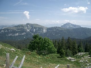
The Chartreuse Mountains are a mountain range in southeastern France, stretching from the city of Grenoble in the south to the Lac du Bourget in the north. They are part of the French Prealps, which continue as the Bauges to the north and the Vercors to the south.

Gustavo A. Madero is a borough in the Mexico City.

In topography, prominence measures the height of a mountain or hill's summit relative to the lowest contour line encircling it but containing no higher summit within it. It is a measure of the independence of a summit. A peak's key col is a unique point on this contour line and the parent peak is some higher mountain, selected according to various criteria.
L'Étape du Tour is an organised mass participation cyclosportive event that allows amateur cyclists to race over the same route as a Tour de France stage. First held in 1993, and now organised by the Amaury Sport Organisation (ASO), in conjunction with Vélo Magazine, it takes place each July, normally on a Tour rest day.
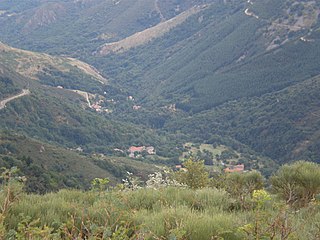
Astet is a commune in the Ardèche department in the Auvergne-Rhône-Alpes region of southern France.

Saint-Lary-Soulan is a commune in the Hautes-Pyrénées department in south-western France.
Maurienne is one of the provinces of Savoy, corresponding to the arrondissement of Saint-Jean-de-Maurienne in France. It is also the original name of the capital of the province, now Saint-Jean-de-Maurienne.

Caussou is a commune in the Ariège department in the Occitanie region in southwestern France.

Arette is a commune in the Pyrénées-Atlantiques department in the Nouvelle-Aquitaine region of southwestern France. It is located in the arrondissement of Oloron-Sainte-Marie and the canton of Oloron-Sainte-Marie-1.
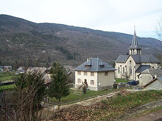
Saint-Jean-de-Couz is a commune in the Savoie department in the Auvergne-Rhône-Alpes region in south-eastern France.

Lindolfo Collor is a municipality in the state of Rio Grande do Sul, Brazil. It is named after the Minister of Labor during the Estado Novo. The population is 6,125 in an area of 32.99 km².
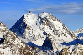
The Pointe de Tourtemagne is a mountain of the Swiss Pennine Alps, located east of St. Luc in the canton of Valais. It lies between the valleys of Anniviers and Turtmann.

Le Boudri is a mountain of the Swiss Pennine Alps, located east of Ayer in the canton of Valais. It lies between the valleys of Anniviers and Turtmann, north of the Hirsihorn.
The 1889 Birthday Honours were appointments by Queen Victoria to various orders and honours to reward and highlight good works by citizens of the British Empire. The appointments were made to celebrate the official birthday of The Queen, and were published in the London Gazette on 24 May 1889 and in The Times on 25 May 1889.
The 1919 Birthday Honours were appointments by King George V to various orders and honours to reward and highlight good works by citizens of the British Empire. The appointments were made to celebrate the official birthday of The King, and were published in The London Gazette from 3 June to 12 August. The vast majority of the awards were related to the recently ended War, and were divided by military campaigns. A supplementary list of honours, retroactive to the King's birthday, was released in December 1919.
