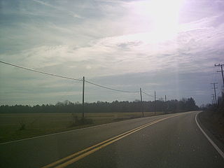
Baynesville is an unincorporated community in Westmoreland County, in the U. S. state of Virginia.
Bayside is an unincorporated community in Westmoreland County, in the U. S. state of Virginia.
Bull Neck is an unincorporated community in Westmoreland County, in the U. S. state of Virginia.
Carys Corner is an unincorporated community in Westmoreland County, Virginia, United States. It is considered to be the area around the intersection of State Route 202 and state secondary route 611; Hague is to the west and Tucker Hill is to the east.
Chisford is an unincorporated community in Westmoreland County, in the U. S. state of Virginia.
Coles Point is an unincorporated community in Westmoreland County, in the U. S. state of Virginia. Coles Point is part of the Northern Neck of Virginia and lies on a peninsula the juts out into the Chesapeake Bay on its East side and is flanked by the Potomac River to the North and the Rappahannock. River to the South. Coles Point Marina, www.colespointmarina.com, is a destination marina located on the water at Coles Point about 15 minutes from Montross, VA. Coles Point is a popular destination for visitors who enjoy boating, fishing & crabbing and there are many vacation homes here. Many Coles Point locals are involved in commercial fishing trade and primarily focused on blue crabs, striped bass (rockfish) and shellfish.
Erica is an unincorporated community in Westmoreland County, in the U. S. state of Virginia.
Flat Iron is an unincorporated community in Westmoreland County, in the U. S. state of Virginia.
Griffiths Corner is an unincorporated community in Westmoreland County, in the U. S. state of Virginia.
Hinnom is an unincorporated community in Westmoreland County, in the Commonwealth of Virginia. It lies about five miles from Montross, Virginia, at the end of Zacata Road, and consists of the region south of Nomini Bay and west of Nomini Creek. It no longer has a Post Office or a ferry landing.
Horners is an unincorporated community in Westmoreland County, in the U. S. state of Virginia.
Latanes is an unincorporated community in Westmoreland County, in the U. S. state of Virginia.
Laurel Grove is an unincorporated community in Westmoreland County, in the U. S. state of Virginia.

Lerty is an unincorporated community in Westmoreland County, in the U. S. state of Virginia.
Machodoc is an unincorporated community in Westmoreland County, in the U. S. state of Virginia.

Monroe Hall is an unincorporated community in Westmoreland County, in the U. S. state of Virginia. The site of James Monroe's birthplace is located in the community, and is marked with an obelisk, a historical marker, and a bronze plaque.
Threeway is an unincorporated community in Westmoreland County, in the U. S. state of Virginia.
Tucker Hill is an unincorporated community in Westmoreland County, in the U. S. state of Virginia.
Wilberts Corner is an unincorporated community in Westmoreland County, in the U. S. state of Virginia.
Moores Mill is an unincorporated community in Richmond County, in the U.S. state of Virginia.


