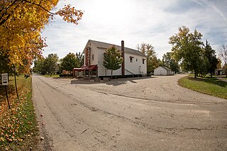
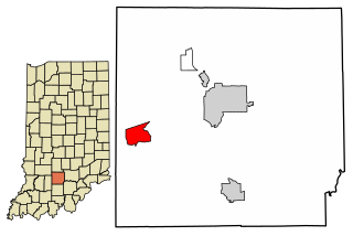
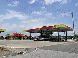
Leopold is a small unincorporated community and Census-designated place in Leopold Township, Perry County, in the U.S. state of Indiana.

New Haven is an unincorporated community and census-designated place (CDP) in central New Haven Township, Huron County, Ohio, United States. As of the 2020 census the population was 356. It has a post office with the ZIP code 44850. It lies at the intersection of U.S. Route 224 with State Routes 61 and 598.

Collins is a census-designated place (CDP) in central Townsend Township, Huron County, Ohio, United States. As of the 2020 census the population of the CDP was 628. The CDP includes the unincorporated communities of Collins and East Townsend. Collins has a post office, with the ZIP code of 44826.

Celeryville is an unincorporated community and census-designated place (CDP) on the boundary between New Haven and Richmond townships in Huron County, Ohio, United States. Celeryville is located approximately 1 mile (1.6 km) south of Willard, and the community relies on Willard's social services. As of the 2020 census the population of the community was 222.

Boggstown is an unincorporated community in Sugar Creek Township, Shelby County, in the U.S. state of Indiana.

Celestine is an unincorporated community in Hall Township, Dubois County, in the U.S. state of Indiana.

Avoca is an unincorporated community and census-designated place in Marshall Township, Lawrence County, Indiana, United States. As of the 2010 census the population was 583.
East Oolitic is an unincorporated community and census-designated place in Shawswick Township, Lawrence County, Indiana.

Heltonville is a Census-designated place in Pleasant Run Township, Lawrence County, Indiana, United States.

Judah is a Census-designated place in Marshall Township, Lawrence County, Indiana.
Lawrenceport is a Census-designated place in Bono Township, Lawrence County, Indiana.

Williams is an unincorporated town and census-designated place in Spice Valley Township, Lawrence County, Indiana, United States. As of the 2010 census, the population was 286.
Chili (Cheye-leye) is an unincorporated community and census-designated place in Richland Township, Miami County, in the U.S. state of Indiana.

Canton is an unincorporated community in Washington Township, Washington County, in the U.S. state of Indiana.

Bennetts Switch is an unincorporated community and census-designated place (CDP) in Deer Creek Township, Miami County, in the U.S. state of Indiana.
Alford is an unincorporated community and census designated place (CDP) in Washington Township, Pike County, in the U.S. state of Indiana.

Arthur or Arthur Junction due to its location at the junction of Indiana 61 and Indiana 64, is a Census designated place in Patoka Township, Pike County, in the U.S. state of Indiana.
Mitiwanga is an unincorporated community and census-designated place in Erie County, Ohio, United States. It is located within Berlin and Vermilion townships, on the south shore of Lake Erie. U.S. Route 6 passes through the community, leading northeast 6 miles (10 km) to Vermilion and west 5 miles (8 km) to Huron.
Holiday Lakes is an unincorporated community and census-designated place in Huron County, Ohio, United States. Its population was 828 as of the 2020 census. Ohio State Route 99 passes through the community.

Grandview Lake is an platted town and census-designated place in Ohio Township, Bartholomew County, in the U.S. state of Indiana. It shares its name with the lake at its center. It was largely developed in the 1960s.


