
State Highway 51 (SH-51) is a state highway in southwestern Idaho from Mountain Home south to the Nevada border, where it continues as State Route 225 to Elko. It is the major north–south road in Owyhee County.

State Highway 16 (SH-16) in Idaho is a 16-mile (26 km) route, connecting Emmett with US-20/US-26 and Star.

State Highway 41 (SH-41) is a state highway mostly in the U.S. state of Idaho. It runs from Interstate 90 in Post Falls to U.S. Route 2 on the Washington state line. The northernmost 0.41 miles (0.66 km) of SH-41 run along State Street along the state line, with the southbound lane in the town of Newport, Washington, and the northbound lane in Oldtown, Idaho. The part of the highway in Washington is designated State Route 41 (SR 41).

U.S. Route 30 (US 30) runs northwest–southeast across the southern half of lower Idaho for 455.481 miles (733.026 km). US 30 enters the state from Oregon across the Snake River in Fruitland and exits into Wyoming east of Dingle. US 26 runs through the large population centers of Boise, Twin Falls, and Pocatello, as well as a plethora of smaller communities from Fruitland to Montpelier. The Thousand Springs Scenic Byway is a picturesque section of US 30 in southern Idaho between the towns of Bliss and Buhl, dipping down into the Hagerman Valley and a canyon of the Snake River.
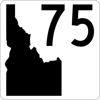
State Highway 75 is a two-lane highway that travels through the Sawtooth Valley of central Idaho. The highway's southern terminus is in Shoshone, and its northern is near Challis. It is designated as one of Idaho's scenic byways and provides access to Sawtooth National Recreation Area. It primarily follows the Big Wood River in the south and the main Salmon River in the north, divided by Galena Summit.

U.S. Route 26 (US 26) runs east–west across south central Idaho for 402.5 miles (647.8 km). US 26 enters the state from Oregon across the Snake River east of Nyssa, Oregon concurrent with US 20 and exits into Wyoming northwest of Alpine. US 26 runs through the large population centers of Boise and Idaho Falls, as well as the smaller communities of Parma, Notus, Garden City, Shoshone, Richfield, Carey, Arco, Blackfoot, Swan Valley, and Irwin.
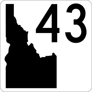
State Highway 43 (SH-43) is a 3.868-mile-long (6.225 km) state highway located in Bonneville County, Idaho. SH-43 runs from its southern terminus at U.S. Route 26 (US-26) in Beachs Corner to its northern terminus at US-20 in Ucon. The highway is maintained by the Idaho Transportation Department.

State Highway 31 (SH-31) is a 21.025-mile-long (33.836 km) north-south state highway in the eastern part of the U.S. state of Idaho. SH-31 runs from U.S. Route 26 (US-26) in Swan Valley north to SH-33 in Victor. The highway is maintained by the Idaho Transportation Department. It is known as PIne Creek Road within Bonneville County. It is also known West Center Street in "downtown" Victor.
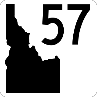
State Highway 57 (SH-57) is a 37.230-mile-long (59.916 km) state highway located entirely within Bonner County in the Idaho Panhandle region of the U.S. state of Idaho. SH-57 runs from U.S. Route 2 in Priest River north to the end of state maintenance in Nordman. The highway is maintained by the Idaho Transportation Department.

State Highway 66 (SH-66) is a 0.992-mile-long (1.596 km) state highway located entirely within Latah County in North Central Idaho. SH-66 runs from the Washington state line in unincorporated Latah County east to U.S. Route 95 (US-95) north of Viola. The highway is maintained by the Idaho Transportation Department.
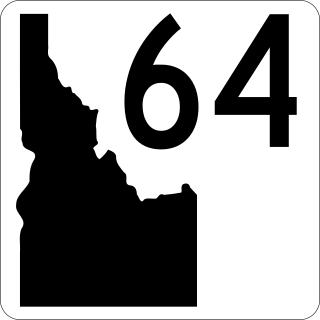
State Highway 64 (SH-64) is a 15.419-mile-long (24.814 km) state highway located entirely within Lewis County in North Central Idaho. SH-64 runs from SH-62 and SH-162 in Nezperce east to SH-162 in Kamiah. The highway is maintained by the Idaho Transportation Department (ITD).

State Highway 22 (SH-22) is a 43.936-mile-long (70.708 km) state highway in Idaho from SH-33 to Interstate 15 (I-15) in Dubois.

State Highway 37 (SH-37) is a state highway in Power County in southern Idaho, United States that spans 31.231 miles (50.261 km) north-south from the Oneida–Power county line to Interstate 86 (I-86).
State Highway 79 (SH-79) is a short state highway in Jerome, Idaho. It comprises an overpass for Lincoln Avenue at an interchange with Interstate 84 (I-84) south of the city, measuring less than 0.26 miles (0.42 km) long. Until 2007, the highway extended 2.5 miles (4.0 km) north to downtown Jerome, where it terminated at SH-25.
State Highway 72 (SH-72) is a 1.989-mile (3.201 km) state highway located entirely within Payette County, Idaho. The highway runs from U.S. Route 30 south of New Plymouth east to Idaho State Highway 52 in Hamilton Corner. SH-72 is maintained by the Idaho Transportation Department.
State Highway 67 (SH-67) is a state highway in Elmore County, Idaho. It connects the Mountain Home Air Force Base to SH-51 in the city of Mountain Home.

State Highway 78 (SH-78) is a state highway in Idaho from SH-55 in Marsing to I-84 Business Loop in Hammett
State Highway 162 (SH-162) is a state highway serving Lewis and Idaho counties in the North Central region of Idaho.
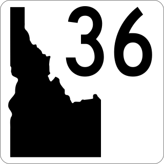
State Highway 36 (SH-36) is a 73.313-mile-long (117.986 km) east-west state highway located in the southeast part of the U.S. state of Idaho. SH-36 runs from Interstate 15 (I-15) near Malad City to U.S. Route 89 (US-89) near Montpelier. The highway is maintained by the Idaho Transportation Department.
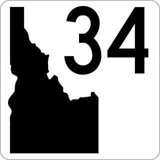
State Highway 34 (SH-34) is a state highway serving Franklin and Caribou counties in southeastern Idaho. The highway runs northeasterly along the Bear River from Preston towards Soda Springs and the Wyoming state line, where it terminates and becomes Wyoming Highway 239.

